UN/LOCODE hub · Australia
AUHDD
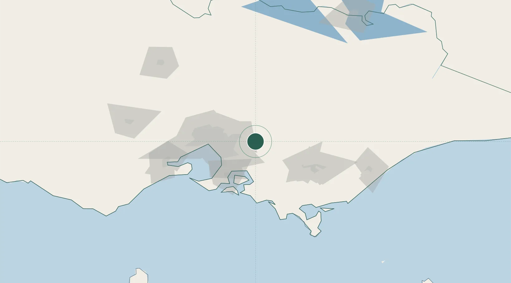
Hoddles Creek
-37.8333°, 145.5833°
617
Population
2
Transport functions
Transport Functions
Port
Multimodal
Hub Profile
Place type
Urban district
Region
Victoria
Population
617
Time zone
Australia/Melbourne
Elevation
281 m
Location
Nearby Logistics Neighbours
Cities
- 1Yarra Junction6 km
- 2Gembrook13 km
- 3Gruyere16 km
- 4Monbulk17 km
- 5Selby20 km
Ports
- 1Melbourne54 km
- 2Western Port65 km
- 3Geelong112 km
- 4Welshpool123 km
- 5Warrnambool278 km
Airports
Trade Zones
DatabookThe Record of Consolidated Knowledge
Australia beyond logistics?