Transport Functions
Multimodal
Hub Profile
Place type
Urban district
Region
Victoria
Population
7,154
Time zone
Australia/Melbourne
Elevation
56 m
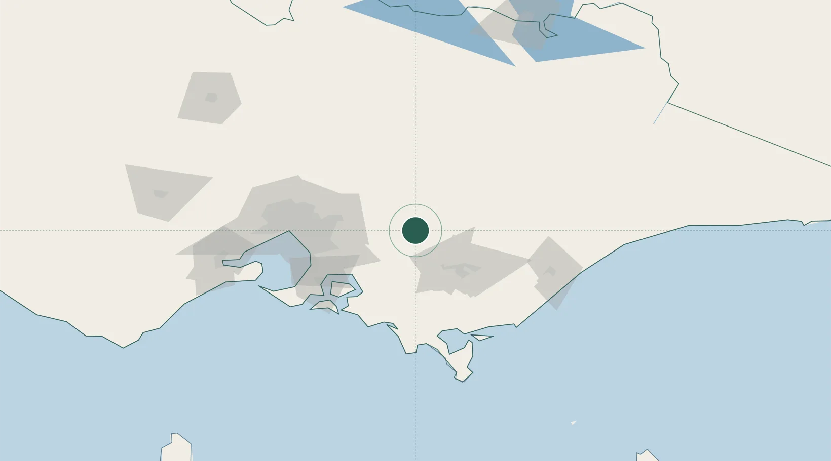
Location
Nearby Logistics Neighbours
Cities
- 1Hughesdale6 km
- 2Drouin32 km
- 3Warragul34 km
- 4Yarra Junction35 km
- 5Hoddles Creek37 km
Ports
- 1Western Port86 km
- 2Melbourne91 km
- 3Welshpool101 km
- 4Geelong147 km
- 5Warrnambool313 km
Airports
- 1Latrobe Valley Airport56 km
- 2Melbourne Moorabbin Airport80 km
- 3West Sale Airport88 km
- 4Melbourne Essendon Airport98 km
- 5RAAF Base East Sale104 km
Trade Zones
DatabookThe Record of Consolidated Knowledge
Australia beyond logistics?