UN/LOCODE hub · Australia
AUYRR
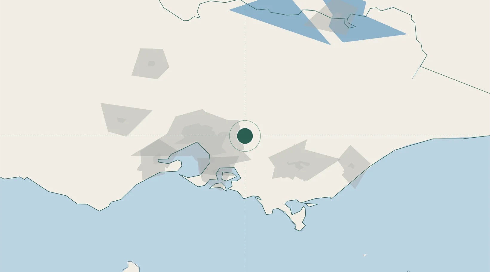
Yarra Junction
-37.7833°, 145.6167°
2,522
Population
1
Transport functions
Transport Functions
Port
Hub Profile
Place type
Urban district
Region
Victoria
Population
2,522
Time zone
Australia/Melbourne
Elevation
125 m
Location
Nearby Logistics Neighbours
Cities
- 1Hoddles Creek6 km
- 2Gruyere16 km
- 3Gembrook19 km
- 4Monbulk22 km
- 5Lilydale22 km
Ports
- 1Melbourne57 km
- 2Western Port71 km
- 3Geelong117 km
- 4Welshpool126 km
- 5Warrnambool283 km
Airports
Trade Zones
DatabookThe Record of Consolidated Knowledge
Australia beyond logistics?