Transport Functions
Port
Multimodal
Hub Profile
Place type
Populated place
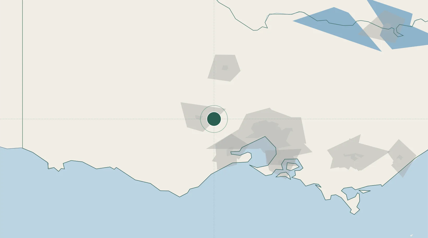
Region
Victoria
Population
1,130
Time zone
Australia/Melbourne
Elevation
565 m
Location
Nearby Logistics Neighbours
Cities
- 1Meredith30 km
- 2Maryborough32 km
- 3Newtown42 km
- 4Lethbridge43 km
- 5Bannockburn52 km
Ports
- 1Geelong67 km
- 2Melbourne81 km
- 3Western Port131 km
- 4Warrnambool168 km
- 5Portland235 km
Airports
Trade Zones
DatabookThe Record of Consolidated Knowledge
Australia beyond logistics?