Transport Functions
Rail
Road
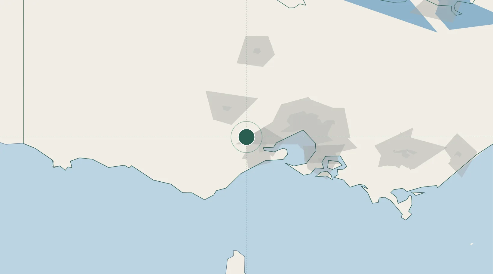
Hub Profile
Place type
Populated place
Region
Victoria
Population
994
Time zone
Australia/Melbourne
Elevation
169 m
Location
Nearby Logistics Neighbours
Cities
- 1Bannockburn10 km
- 2Meredith14 km
- 3North Geelong24 km
- 4Geelong West27 km
- 5Corio Bay31 km
Ports
- 1Geelong29 km
- 2Melbourne75 km
- 3Western Port105 km
- 4Warrnambool152 km
- 5Welshpool219 km
Airports
- 1Melbourne Avalon International Airport30 km
- 2Melbourne Airport70 km
- 3Melbourne Essendon Airport73 km
- 4Melbourne Moorabbin Airport85 km
- 5Ararat Airport125 km
Trade Zones
DatabookThe Record of Consolidated Knowledge
Australia beyond logistics?