UN/LOCODE hub · Australia
AUBNN
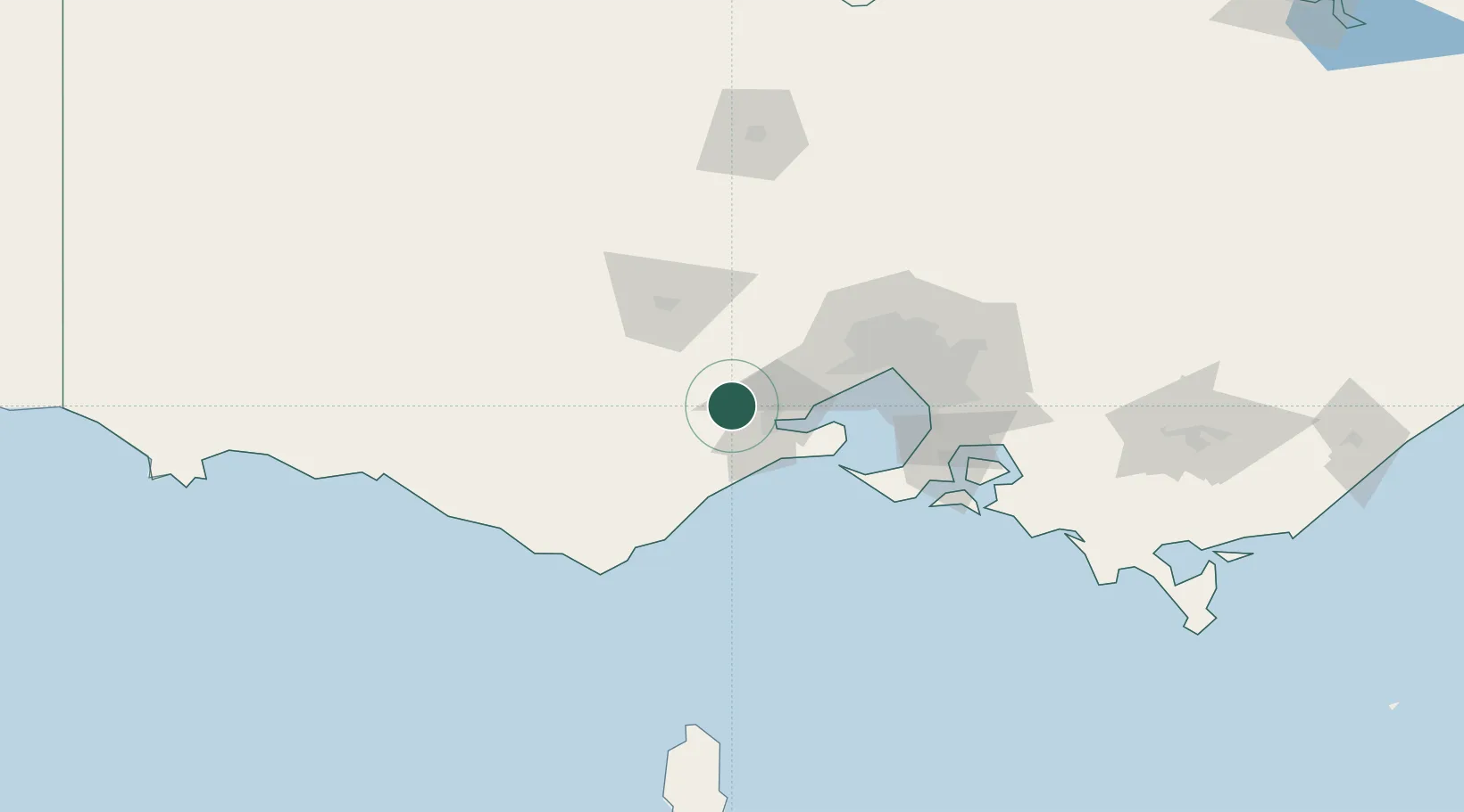
Bannockburn
-38.0500°, 144.1667°
5,203
Population
2
Transport functions
Transport Functions
Port
Multimodal
Hub Profile
Place type
Populated place
Region
Victoria
Population
5,203
Time zone
Australia/Melbourne
Elevation
116 m
Location
Nearby Logistics Neighbours
Cities
- 1Lethbridge10 km
- 2North Geelong16 km
- 3Geelong West19 km
- 4Meredith23 km
- 5Corio Bay25 km
Ports
- 1Geelong21 km
- 2Melbourne74 km
- 3Western Port99 km
- 4Warrnambool152 km
- 5Welshpool213 km
Airports
- 1Melbourne Avalon International Airport26 km
- 2Melbourne Airport73 km
- 3Melbourne Essendon Airport74 km
- 4Melbourne Moorabbin Airport82 km
- 5Ararat Airport132 km
Trade Zones
DatabookThe Record of Consolidated Knowledge
Australia beyond logistics?