Transport Functions
Port
Road
Hub Profile
Place type
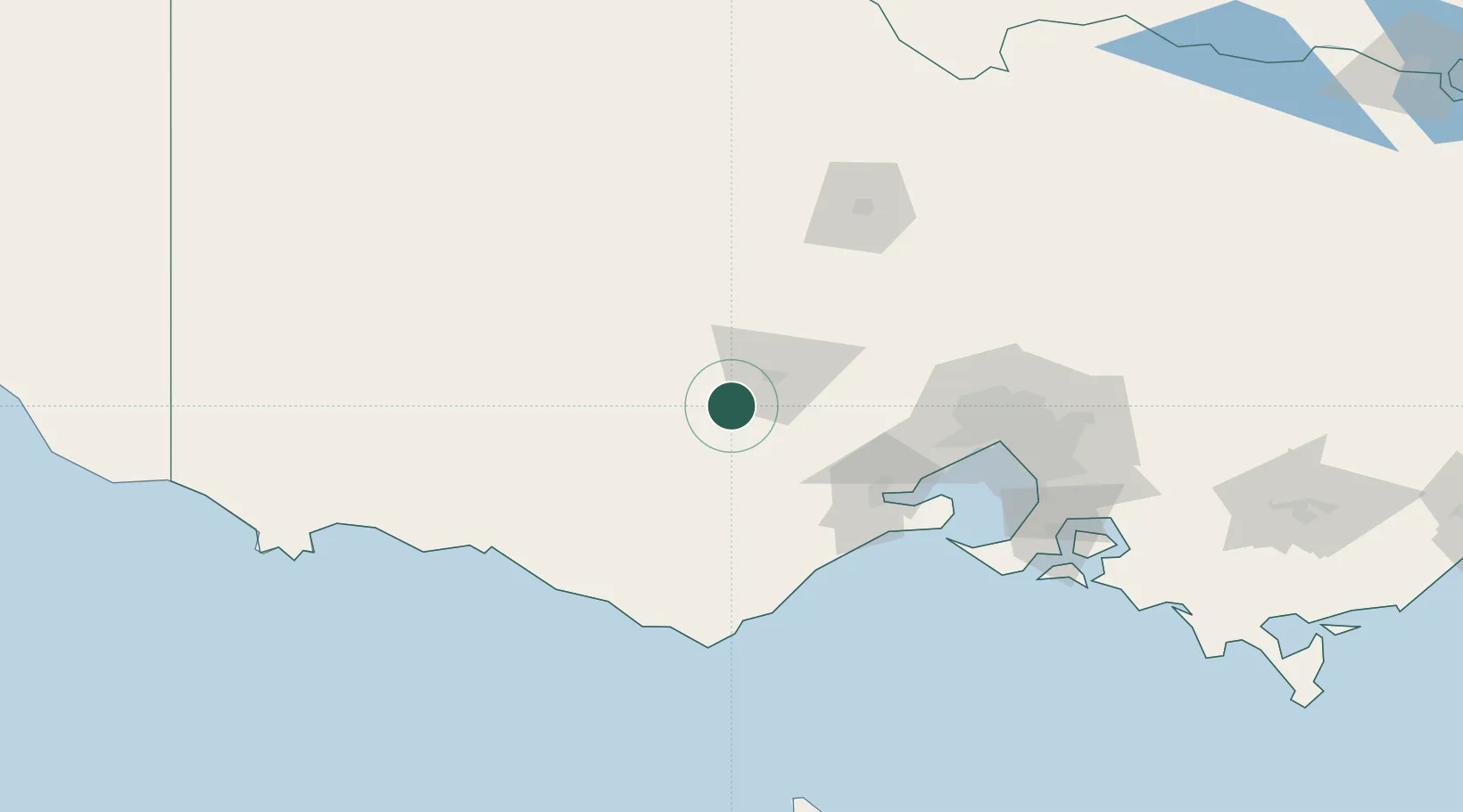
Populated place
Region
Victoria
Population
116
Time zone
Australia/Melbourne
Elevation
346 m
Location
Nearby Logistics Neighbours
Cities
- 1Pittong15 km
- 2Maryborough24 km
- 3Meredith42 km
- 4Gordon42 km
- 5Lethbridge52 km
Ports
- 1Geelong80 km
- 2Melbourne117 km
- 3Warrnambool128 km
- 4Western Port156 km
- 5Portland193 km
Airports
- 1Ararat Airport73 km
- 2Melbourne Avalon International Airport81 km
- 3Melbourne Airport105 km
- 4Stawell Airport106 km
- 5Melbourne Essendon Airport110 km
Trade Zones
DatabookThe Record of Consolidated Knowledge
Australia beyond logistics?