Transport Functions
Rail
Road
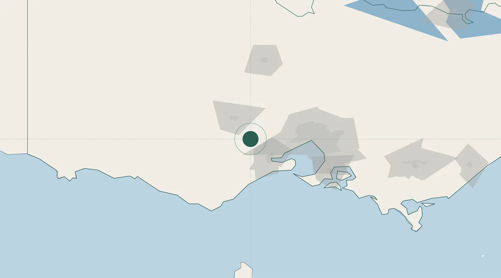
Hub Profile
Place type
Populated place
Region
Victoria
Population
761
Time zone
Australia/Melbourne
Elevation
338 m
Location
Nearby Logistics Neighbours
Cities
- 1Lethbridge14 km
- 2Bannockburn23 km
- 3Gordon30 km
- 4North Geelong37 km
- 5Little River39 km
Ports
- 1Geelong42 km
- 2Melbourne78 km
- 3Western Port115 km
- 4Warrnambool153 km
- 5Portland224 km
Airports
- 1Melbourne Avalon International Airport40 km
- 2Melbourne Airport69 km
- 3Melbourne Essendon Airport73 km
- 4Melbourne Moorabbin Airport90 km
- 5Ararat Airport114 km
Trade Zones
DatabookThe Record of Consolidated Knowledge
Australia beyond logistics?