Medium airport · Australia

Mount Hotham AirportYHOT
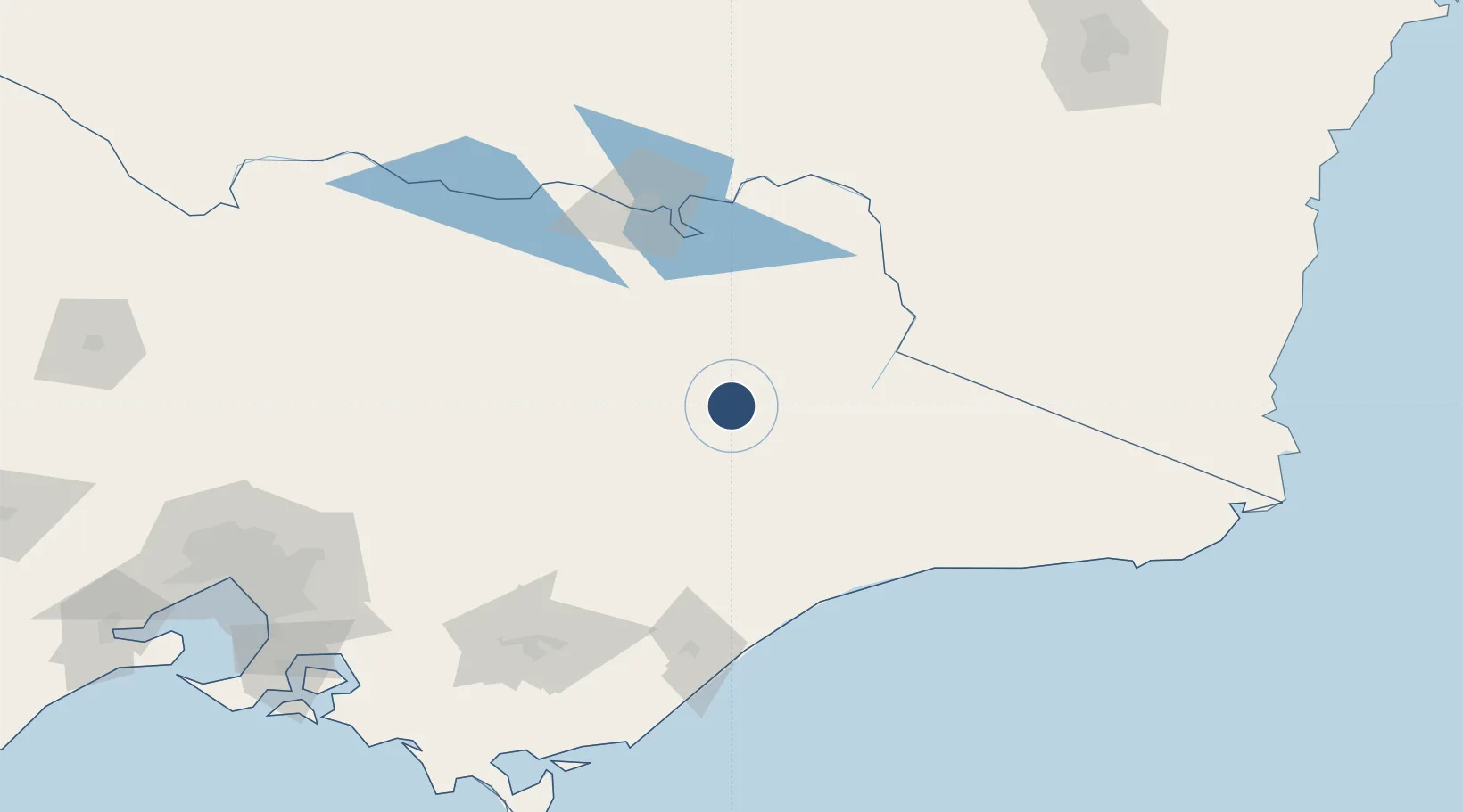
-37.0475°, 147.3340°
4,762 ft
Longest runway
1
Runways
4,260 ft
Elevation

Runway & Layout

Mount Hotham Airport runway & taxiway layout
Runway & taxiway layout — OpenStreetMap (ODbL) / OurAirports

Radio Frequencies

CTAF
126.75 MHz
FSS
125.2 MHz
MELBOURNE CNTR
OurAirports

Runways · 1

RunwayDimensions SurfaceTrue headingLit
11/29 4,762 × 98ft Asphalt 119°
OurAirports

Airport Specifications

IATA code
MHU
OurAirports
ICAO code
YHOT
OurAirports
Airport class
Medium airport
OurAirports
Scheduled service
Yes
OurAirports
Runway surface
Asphalt
OurAirports
Served city
Mount Hotham
OurAirports

Location

Location of YHOT
Natural Earth 10m (public domain) · Victoria · YHOT · -37.05, 147.33GoogleOSMYandex

Nearby Logistics Neighbours

Airports
  1. 1Bairnsdale Airport96 km
  2. 2Corryong Airport108 km
  3. 3Albury Airport114 km
  4. 4Wangaratta Airport115 km
  5. 5RAAF Base East Sale118 km
Nearest neighbours — logibook spatial index (haversine) over the source coordinates
Cities
  1. 1Gapstead83 km
  2. 2Carboor84 km
  3. 3Hillside89 km
  4. 4Edi92 km
  5. 5Beechworth94 km
Nearest neighbours — logibook spatial index (haversine) over the source coordinates
Ports
  1. 1Welshpool199 km
  2. 2Melbourne227 km
  3. 3Eden229 km
  4. 4Western Port235 km
  5. 5Geelong289 km
Nearest neighbours — logibook spatial index (haversine) over the source coordinates
Trade Zones
  1. 1Latrobe Valley Economic Growth Zone156 km
  2. 2Hicks Bay Area Special Economic Zone2712 km
  3. 3Paga Hill Estate Special Economic Zone3065 km
  4. 4Vanuatu Economic Development Zone3092 km
  5. 5Ihu Special Economic Zone3248 km
Nearest neighbours — logibook spatial index (haversine) over the source coordinates
DatabookThe Record of Consolidated Knowledge
Australia beyond logistics?
Browse databook

All Sources

AirportsOurAirports
Public domain
Portsthe NGA World Port Index
Public domain (US gov)
LocationsUN/LOCODE
UN/LOCODE — free
Trade Zonesthe World Bank SEZ database
CC BY 4.0
Trade ZonesOpen Zone Map
CC BY
InfrastructureOpenStreetMap
ODbL 1.0
← Australia airports