UN/LOCODE hub · Australia
AUEEK

Dry Creek

-36.9500°, 145.8500°
1
Transport functions

Transport Functions

Multimodal
UN/LOCODE

Hub Profile

Place type
Populated place
GeoNames
Region
Victoria
GeoNames
Time zone
Australia/Melbourne
GeoNames
Elevation
474 m
GeoNames

Location

Location of AUEEK
Natural Earth 10m (public domain) · Victoria · AUEEK · -36.95, 145.85GoogleOSMYandex

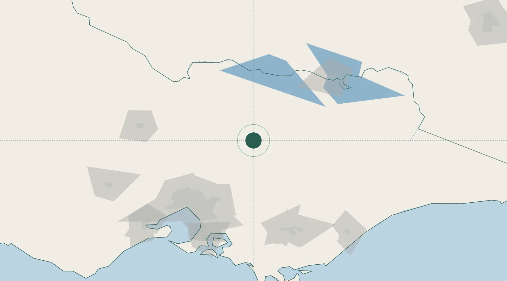
Nearby Logistics Neighbours

Cities
  1. 1Alexandra29 km
  2. 2Edi62 km
  3. 3Moyhu63 km
  4. 4Murchison65 km
  5. 5Carboor72 km
Nearest neighbours — logibook spatial index (haversine) over the source coordinates
Ports
  1. 1Melbourne125 km
  2. 2Western Port165 km
  3. 3Geelong187 km
  4. 4Welshpool202 km
  5. 5Warrnambool337 km
Nearest neighbours — logibook spatial index (haversine) over the source coordinates
Airports
  1. 1Benalla Airport46 km
  2. 2Shepparton Airport71 km
  3. 3Wangaratta Airport72 km
  4. 4Corowa Airport116 km
  5. 5Melbourne Airport120 km
Nearest neighbours — logibook spatial index (haversine) over the source coordinates
Trade Zones
  1. 1Latrobe Valley Economic Growth Zone151 km
  2. 2Paga Hill Estate Special Economic Zone3057 km
  3. 3Vanuatu Economic Development Zone3179 km
  4. 4Ihu Special Economic Zone3231 km
  5. 5Morobe Agricultural Special Economic Zone3369 km
Nearest neighbours — logibook spatial index (haversine) over the source coordinates
DatabookThe Record of Consolidated Knowledge
Australia beyond logistics?
Browse databook

All Sources

LocationsUN/LOCODE
UN/LOCODE — free
Portsthe NGA World Port Index
Public domain (US gov)
AirportsOurAirports
Public domain
Trade Zonesthe World Bank SEZ database
CC BY 4.0
Trade ZonesOpen Zone Map
CC BY
← Australia locations