Transport Functions
Multimodal
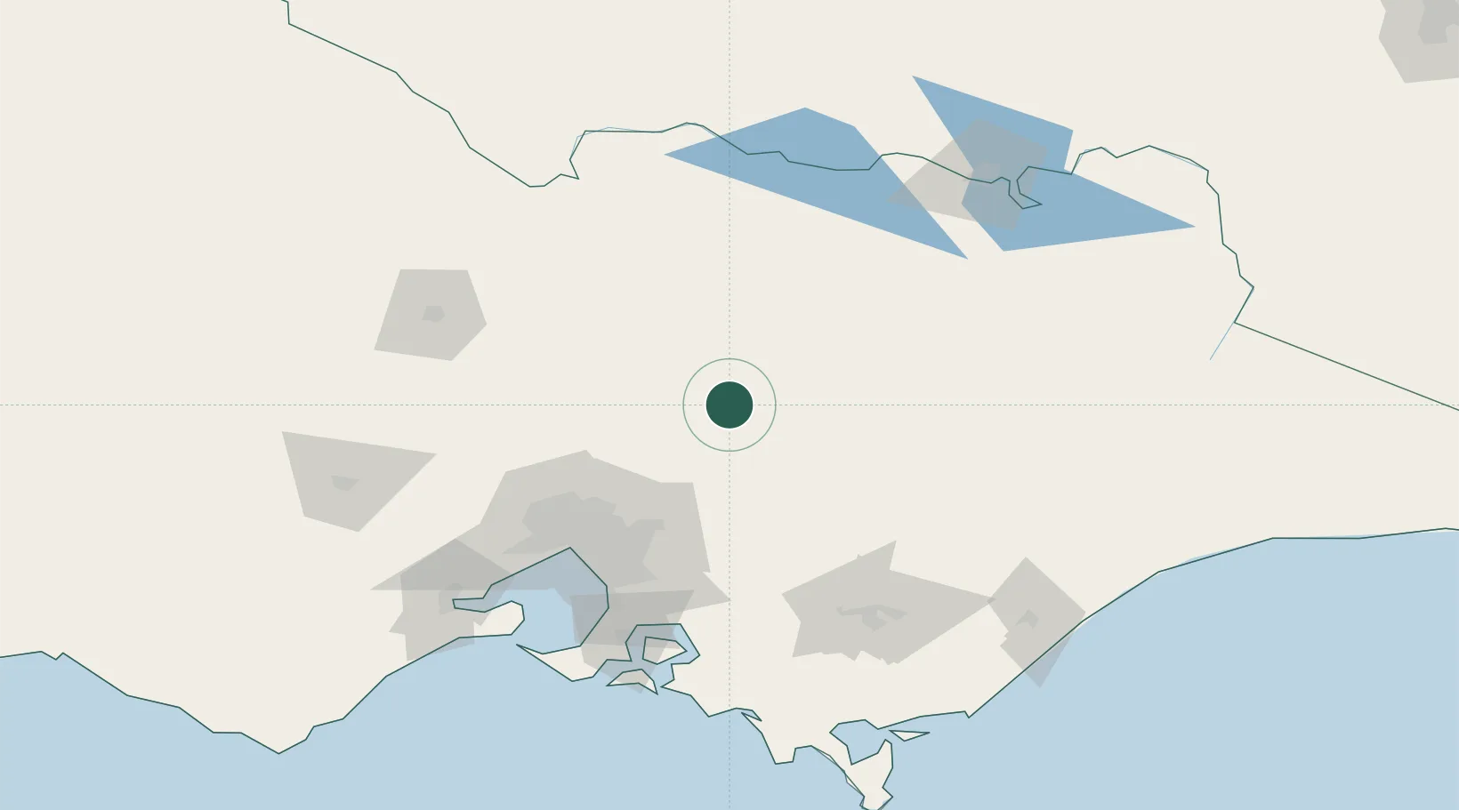
Hub Profile
Place type
Populated place
Region
Victoria
Population
2,575
Time zone
Australia/Melbourne
Elevation
222 m
Location
Nearby Logistics Neighbours
Cities
- 1Dry Creek29 km
- 2Pheasant Creek50 km
- 3Broadford56 km
- 4Yering65 km
- 5Gruyere65 km
Ports
- 1Melbourne97 km
- 2Western Port136 km
- 3Geelong159 km
- 4Welshpool182 km
- 5Warrnambool313 km
Airports
- 1Benalla Airport75 km
- 2Shepparton Airport88 km
- 3Melbourne Essendon Airport93 km
- 4Melbourne Airport93 km
- 5Wangaratta Airport101 km
Trade Zones
DatabookThe Record of Consolidated Knowledge
Australia beyond logistics?