Transport Functions
Multimodal
Hub Profile
Place type
Populated place
Region
Victoria
Population
891
Time zone
Australia/Melbourne
Elevation
125 m
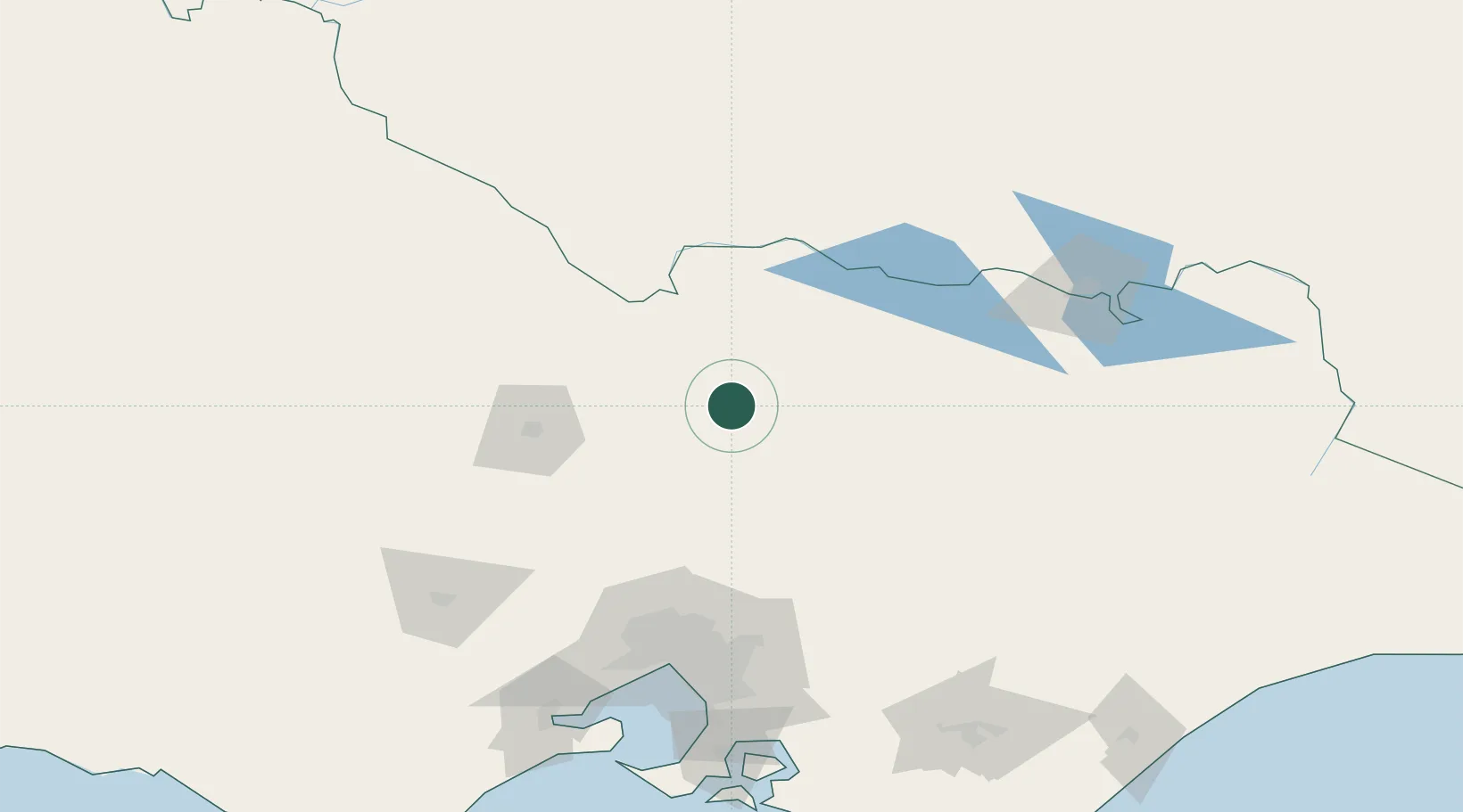
Location
Nearby Logistics Neighbours
Cities
- 1Colbinabbin40 km
- 2Heathcote56 km
- 3Tooborac58 km
- 4Numurkah62 km
- 5Broadford65 km
Ports
- 1Melbourne136 km
- 2Geelong185 km
- 3Western Port191 km
- 4Welshpool254 km
- 5Warrnambool312 km
Airports
- 1Shepparton Airport27 km
- 2Echuca Airport68 km
- 3Benalla Airport70 km
- 4Bendigo Airport81 km
- 5Wangaratta Airport99 km
Trade Zones
DatabookThe Record of Consolidated Knowledge
Australia beyond logistics?