Transport Functions
Port
Multimodal
Hub Profile
Place type
Urban district
Region
Victoria
Population
2,559
Time zone
Australia/Melbourne
Elevation
322 m
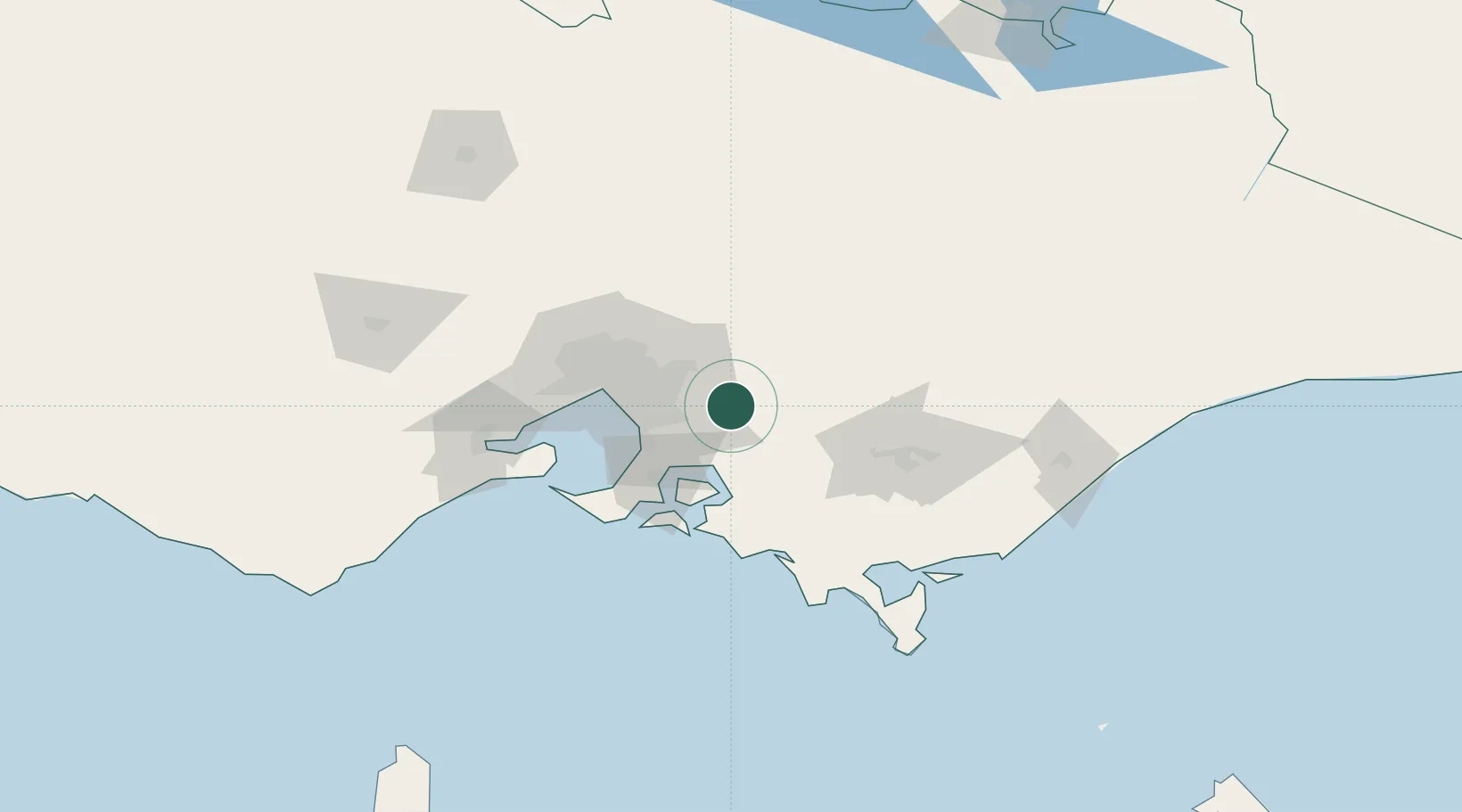
Location
Nearby Logistics Neighbours
Cities
- 1Beaconsfield Upper13 km
- 2Hoddles Creek13 km
- 3Nar Nar Goon15 km
- 4Selby15 km
- 5Monbulk15 km
Ports
- 1Western Port52 km
- 2Melbourne53 km
- 3Geelong106 km
- 4Welshpool116 km
- 5Warrnambool273 km
Airports
Trade Zones
DatabookThe Record of Consolidated Knowledge
Australia beyond logistics?