UN/LOCODE hub · Australia
AUNTL
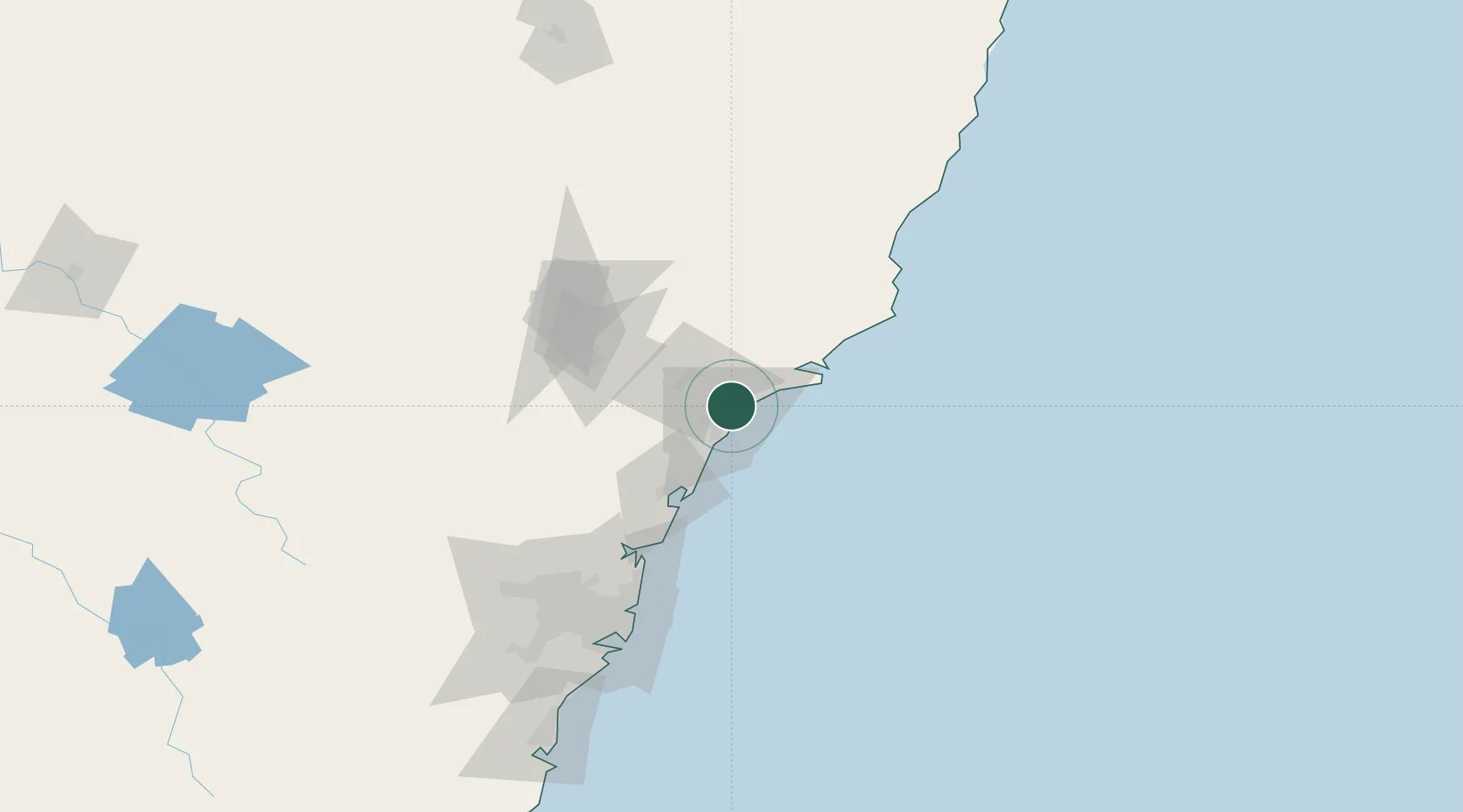
Newcastle
-32.8758°, 151.7550°
508,437
Population
2
Transport functions
Transport Functions
Port
Airport
Hub Profile
Place type
Provincial seat
Region
New South Wales
Population
508,437
Time zone
Australia/Sydney
Elevation
48 m
Logistics facilities
3
Location
Nearby Logistics Neighbours
Cities
- 1Hamilton5 km
- 2Warabrook5 km
- 3Sandgate5 km
- 4New Lambton7 km
- 5Heatherbrae11 km
Ports
- 1Sydney122 km
- 2Botany Bay134 km
- 3Port Kembla195 km
- 4Jervis Bay264 km
- 5Batemans Bay346 km
Airports
- 1Newcastle Airport12 km
- 2Palm Beach Seaplane Base89 km
- 3RAAF Base Richmond121 km
- 4Sydney Kingsford Smith International Airport131 km
- 5Taree Airport131 km
Trade Zones
DatabookThe Record of Consolidated Knowledge
Australia beyond logistics?