UN/LOCODE hub · Australia
AUNWD
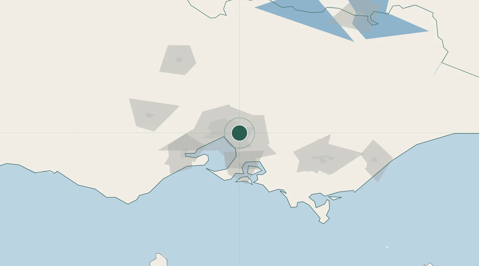
Nunawading
-37.8167°, 145.1667°
12,413
Population
2
Transport functions
Transport Functions
Rail
Road
Hub Profile
Place type
Urban district
Region
Victoria
Population
12,413
Time zone
Australia/Melbourne
Elevation
123 m
Location
Nearby Logistics Neighbours
Cities
- 1Mitcham3 km
- 2Vermont4 km
- 3Doncaster5 km
- 4Surrey Hills6 km
- 5Glen Waverley7 km
Ports
- 1Melbourne18 km
- 2Western Port60 km
- 3Geelong79 km
- 4Welshpool150 km
- 5Warrnambool244 km
Airports
Trade Zones
DatabookThe Record of Consolidated Knowledge
Australia beyond logistics?