Transport Functions
Port
Multimodal
Hub Profile
Place type
Urban district
Region
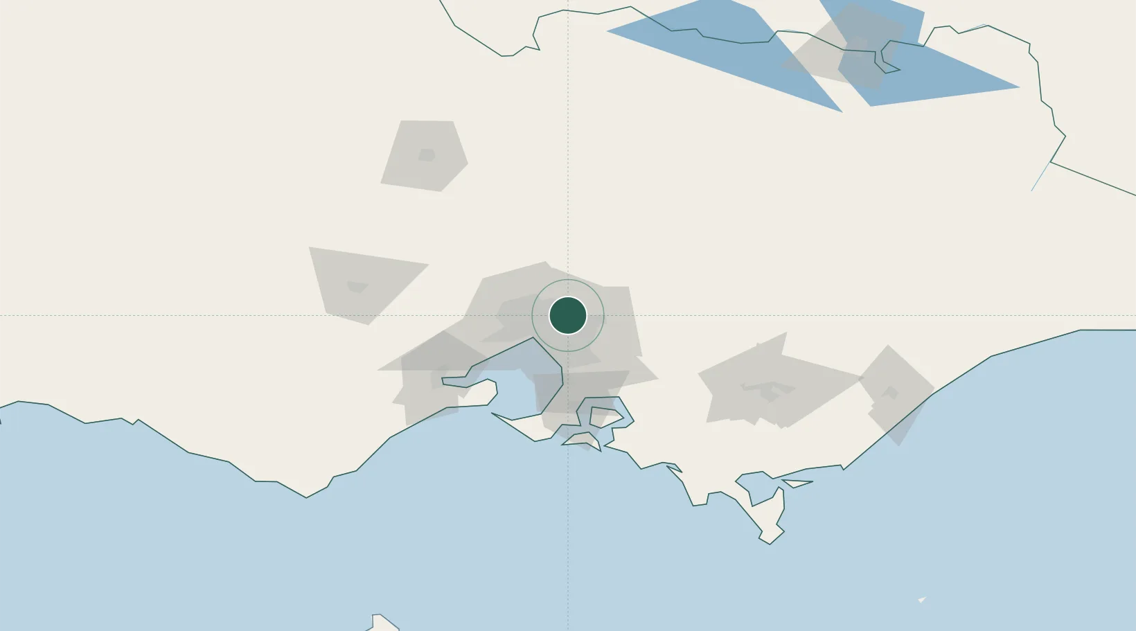
Victoria
Population
18,847
Time zone
Australia/Melbourne
Elevation
66 m
Location
Nearby Logistics Neighbours
Cities
- 1Doncaster6 km
- 2Tooronga6 km
- 3Rosanna7 km
- 4Diamond Creek7 km
- 5Heidelberg8 km
Ports
- 1Melbourne20 km
- 2Western Port69 km
- 3Geelong83 km
- 4Welshpool157 km
- 5Warrnambool245 km
Airports
Trade Zones
DatabookThe Record of Consolidated Knowledge
Australia beyond logistics?