Transport Functions
Port
Multimodal
Hub Profile
Place type
Populated place
Region
South Australia
Population
1,905
Time zone
Australia/Adelaide
Elevation
310 m
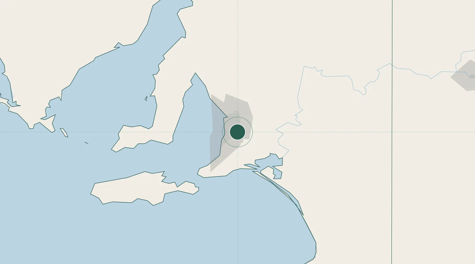
Location
Nearby Logistics Neighbours
Cities
- 1Aldgate4 km
- 2Verdun8 km
- 3Ashton8 km
- 4Blackwood9 km
- 5Coromandel Valley9 km
Ports
- 1Port Adelaide25 km
- 2Port Giles85 km
- 3Klein Point85 km
- 4Ardrossan95 km
- 5Kingscote120 km
Airports
- 1Adelaide International Airport16 km
- 2RAAF Base Edinburgh34 km
- 3Kingscote Airport133 km
- 4Renmark Airport202 km
- 5Port Pirie Airport206 km
DatabookThe Record of Consolidated Knowledge
Australia beyond logistics?