UN/LOCODE hub · Australia
AUCRV
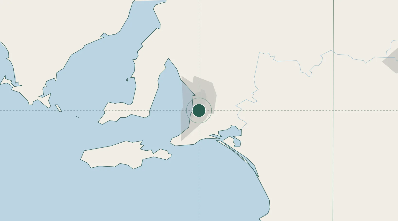
Coromandel Valley
-35.0500°, 138.6167°
4,090
Population
2
Transport functions
Transport Functions
Port
Multimodal
Hub Profile
Place type
Urban district
Region
South Australia
Population
4,090
Time zone
Australia/Adelaide
Elevation
184 m
Location
Nearby Logistics Neighbours
Cities
- 1Chandlers Hill4 km
- 2Blackwood4 km
- 3Bedford Park5 km
- 4Clarendon8 km
- 5Happy Valley8 km
Ports
- 1Port Adelaide25 km
- 2Port Giles77 km
- 3Klein Point78 km
- 4Ardrossan94 km
- 5Kingscote110 km
Airports
- 1Adelaide International Airport14 km
- 2RAAF Base Edinburgh38 km
- 3Kingscote Airport124 km
- 4Port Pirie Airport209 km
- 5Renmark Airport211 km
DatabookThe Record of Consolidated Knowledge
Australia beyond logistics?