UN/LOCODE hub · Australia
AUCHD

Chadstone/Melbourne

-37.8833°, 145.0667°
2
Transport functions

Transport Functions

Rail
Road
UN/LOCODE

Hub Profile

Region
VIC
GeoNames

Location

Location of AUCHD
Natural Earth 10m (public domain) · VIC · AUCHD · -37.88, 145.07GoogleOSMYandex

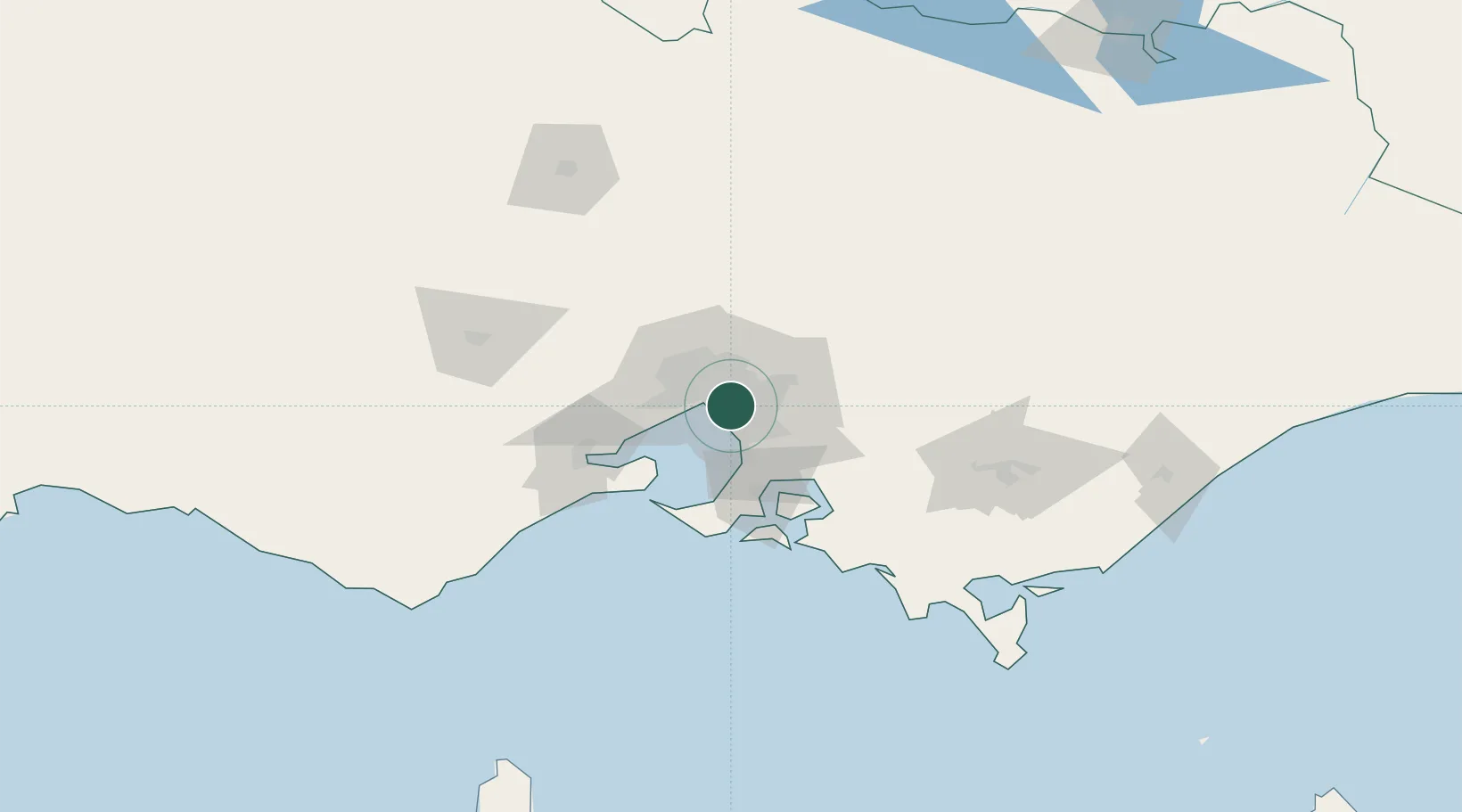
Nearby Logistics Neighbours

Cities
  1. 1Oakleigh2 km
  2. 2Malvern4 km
  3. 3Caulfield4 km
  4. 4Notting Hill5 km
  5. 5Camberwell6 km
Nearest neighbours — logibook spatial index (haversine) over the source coordinates
Ports
  1. 1Melbourne10 km
  2. 2Western Port54 km
  3. 3Geelong68 km
  4. 4Welshpool152 km
  5. 5Warrnambool233 km
Nearest neighbours — logibook spatial index (haversine) over the source coordinates
Airports
  1. 1Melbourne Moorabbin Airport11 km
  2. 2Melbourne Essendon Airport23 km
  3. 3Melbourne Airport31 km
  4. 4Melbourne Avalon International Airport55 km
  5. 5Latrobe Valley Airport128 km
Nearest neighbours — logibook spatial index (haversine) over the source coordinates
Trade Zones
  1. 1Latrobe Valley Economic Growth Zone122 km
  2. 2Paga Hill Estate Special Economic Zone3165 km
  3. 3Vanuatu Economic Development Zone3300 km
  4. 4Ihu Special Economic Zone3335 km
  5. 5Morobe Agricultural Special Economic Zone3474 km
Nearest neighbours — logibook spatial index (haversine) over the source coordinates
DatabookThe Record of Consolidated Knowledge
Australia beyond logistics?
Browse databook

All Sources

LocationsUN/LOCODE
UN/LOCODE — free
Portsthe NGA World Port Index
Public domain (US gov)
AirportsOurAirports
Public domain
Trade Zonesthe World Bank SEZ database
CC BY 4.0
Trade ZonesOpen Zone Map
CC BY
← Australia locations