Transport Functions
Rail
Road
Hub Profile
Place type
Urban district
Region
Victoria
Population
9,929
Time zone
Australia/Melbourne
Elevation
60 m
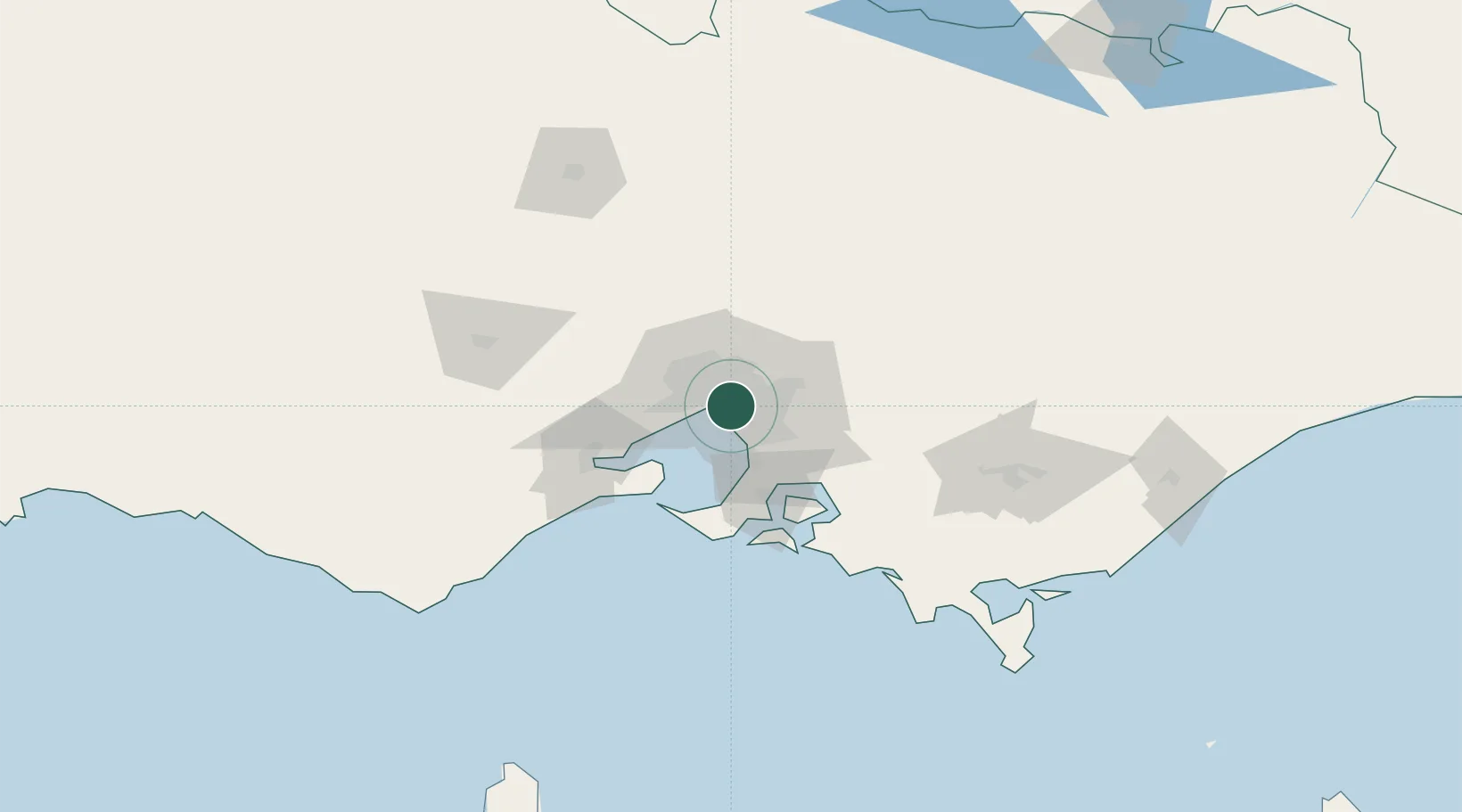
Location
Nearby Logistics Neighbours
Cities
- 1Caulfield2 km
- 2Elsternwick4 km
- 3Chadstone/Melbourne4 km
- 4Prahran4 km
- 5Richmond5 km
Ports
- 1Melbourne7 km
- 2Western Port57 km
- 3Geelong66 km
- 4Welshpool156 km
- 5Warrnambool231 km
Airports
Trade Zones
DatabookThe Record of Consolidated Knowledge
Australia beyond logistics?