UN/LOCODE hub · Australia
AUBSA
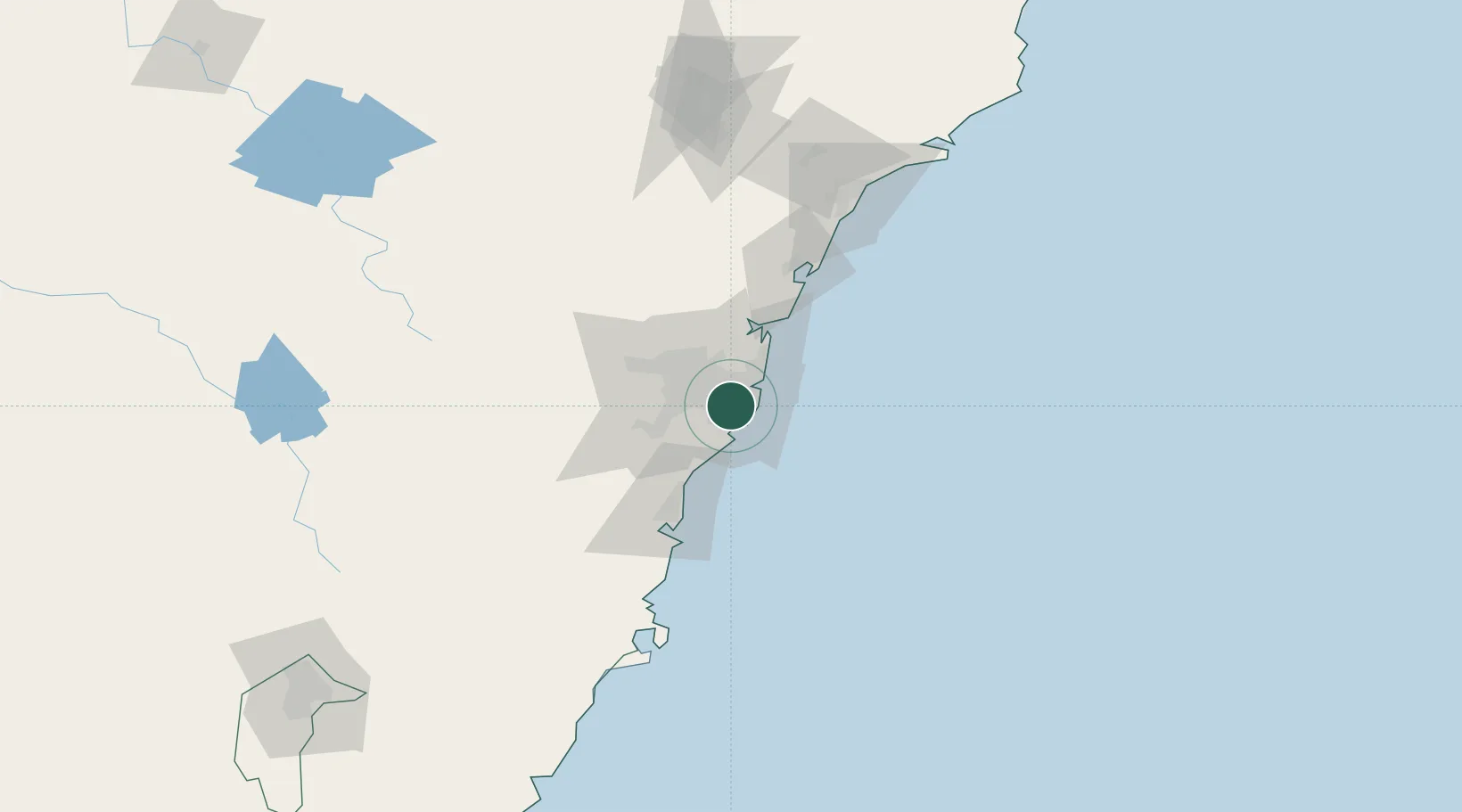
Brighton-Le-Sands
-33.9500°, 151.1500°
8,515
Population
2
Transport functions
Transport Functions
Port
Multimodal
Hub Profile
Place type
Urban district
Region
New South Wales
Population
8,515
Time zone
Australia/Sydney
Elevation
6 m
Location
Nearby Logistics Neighbours
Cities
- 1Rockdale2 km
- 2Tempe2 km
- 3Marrickville4 km
- 4Hurstville5 km
- 5Kogarah5 km
Ports
- 1Botany Bay10 km
- 2Sydney10 km
- 3Port Kembla63 km
- 4Newcastle129 km
- 5Jervis Bay134 km
Airports
Trade Zones
DatabookThe Record of Consolidated Knowledge
Australia beyond logistics?