UN/LOCODE hub · Australia
AUMAR
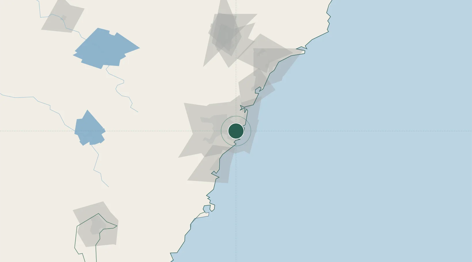
Marrickville
-33.9167°, 151.1667°
26,140
Population
4
Transport functions
Transport Functions
Port
Rail
Road
Multimodal
Hub Profile
Place type
Urban district
Region
New South Wales
Population
26,140
Time zone
Australia/Sydney
Elevation
12 m
Location
Nearby Logistics Neighbours
Cities
- 1Tempe2 km
- 2Stanmore2 km
- 3Annandale4 km
- 4Camperdown4 km
- 5Brighton-Le-Sands4 km
Ports
- 1Sydney6 km
- 2Botany Bay11 km
- 3Port Kembla67 km
- 4Newcastle125 km
- 5Jervis Bay138 km
Airports
Trade Zones
DatabookThe Record of Consolidated Knowledge
Australia beyond logistics?