UN/LOCODE hub · Australia
AUHUR
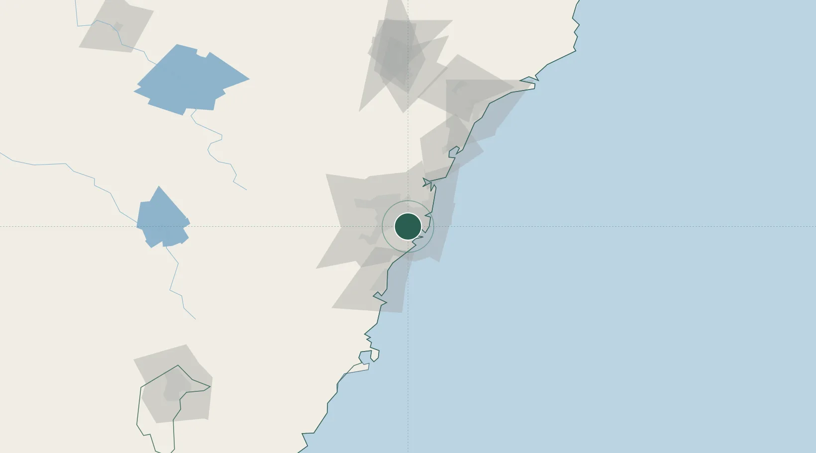
Hurstville
-33.9500°, 151.1000°
29,744
Population
2
Transport functions
Transport Functions
Rail
Road
Hub Profile
Place type
Urban district
Region
New South Wales
Population
29,744
Time zone
Australia/Sydney
Elevation
80 m
Location
Nearby Logistics Neighbours
Cities
- 1Kingsgrove1 km
- 2Rockdale3 km
- 3Belmore4 km
- 4Kogarah4 km
- 5Lakemba4 km
Ports
- 1Sydney13 km
- 2Botany Bay14 km
- 3Port Kembla62 km
- 4Newcastle131 km
- 5Jervis Bay133 km
Airports
Trade Zones
DatabookThe Record of Consolidated Knowledge
Australia beyond logistics?