UN/LOCODE hub · Australia
AUARA

Kogarah

-33.9833°, 151.1167°
16,416
Population
1
Transport functions

Transport Functions

Multimodal
UN/LOCODE

Hub Profile

Place type
Urban district
GeoNames
Region
New South Wales
GeoNames
Population
16,416
GeoNames
Time zone
Australia/Sydney
GeoNames
Elevation
24 m
GeoNames

Location

Location of AUARA
Natural Earth 10m (public domain) · New South Wales · AUARA · -33.98, 151.12GoogleOSMYandex

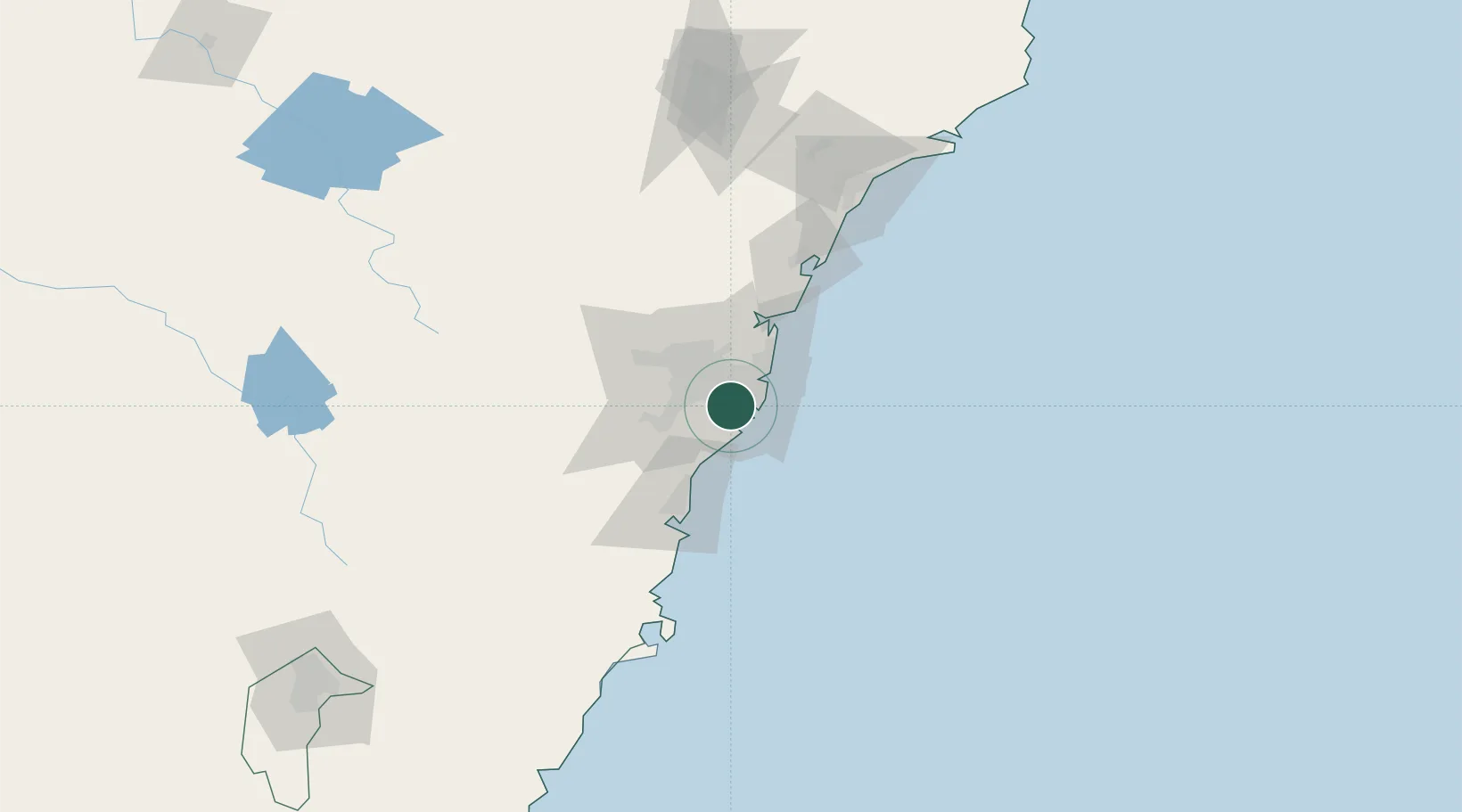
Nearby Logistics Neighbours

Cities
  1. 1Sylvania4 km
  2. 2Rockdale4 km
  3. 3Hurstville4 km
  4. 4Brighton-Le-Sands5 km
  5. 5Como5 km
Nearest neighbours — logibook spatial index (haversine) over the source coordinates
Ports
  1. 1Botany Bay11 km
  2. 2Sydney15 km
  3. 3Port Kembla59 km
  4. 4Jervis Bay129 km
  5. 5Newcastle134 km
Nearest neighbours — logibook spatial index (haversine) over the source coordinates
Airports
  1. 1Sydney Kingsford Smith International Airport7 km
  2. 2Sydney Bankstown Airport13 km
  3. 3Camden Airport40 km
  4. 4Palm Beach Seaplane Base48 km
  5. 5RAAF Base Richmond52 km
Nearest neighbours — logibook spatial index (haversine) over the source coordinates
Trade Zones
  1. 1Latrobe Valley Economic Growth Zone635 km
  2. 2Hicks Bay Area Special Economic Zone2461 km
  3. 3Vanuatu Economic Development Zone2609 km
  4. 4Paga Hill Estate Special Economic Zone2754 km
  5. 5Tulagi Island Special Economic Zone2916 km
Nearest neighbours — logibook spatial index (haversine) over the source coordinates
DatabookThe Record of Consolidated Knowledge
Australia beyond logistics?
Browse databook

All Sources

LocationsUN/LOCODE
UN/LOCODE — free
LocationsGeoNames
CC BY 4.0
Portsthe NGA World Port Index
Public domain (US gov)
AirportsOurAirports
Public domain
Trade Zonesthe World Bank SEZ database
CC BY 4.0
Trade ZonesOpen Zone Map
CC BY
← Australia locations