Transport Functions
Multimodal
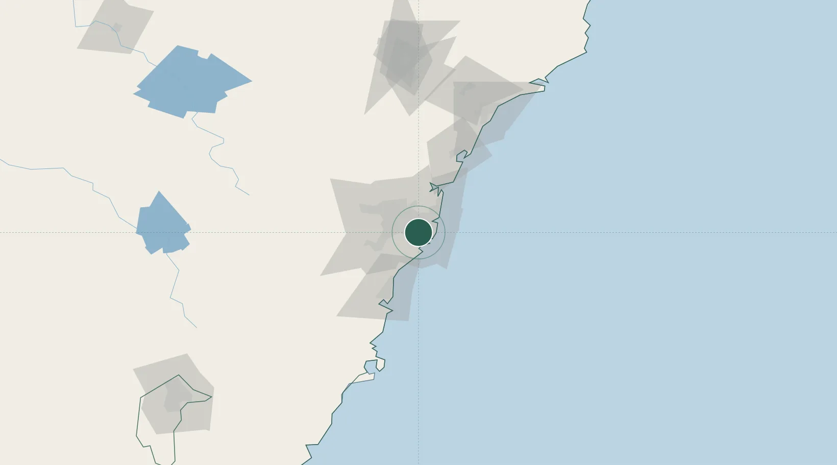
Hub Profile
Place type
Urban district
Region
New South Wales
Population
15,436
Time zone
Australia/Sydney
Elevation
42 m
Location
Nearby Logistics Neighbours
Cities
- 1Brighton-Le-Sands2 km
- 2Tempe2 km
- 3Hurstville3 km
- 4Kingsgrove4 km
- 5Kogarah4 km
Ports
- 1Botany Bay11 km
- 2Sydney11 km
- 3Port Kembla63 km
- 4Newcastle130 km
- 5Jervis Bay133 km
Airports
Trade Zones
DatabookThe Record of Consolidated Knowledge
Australia beyond logistics?