Transport Functions
Rail
Road
Airport
Hub Profile
Place type
Populated place
Region
New South Wales
Population
5,323
Time zone
Australia/Sydney
Elevation
164 m
Logistics facilities
1
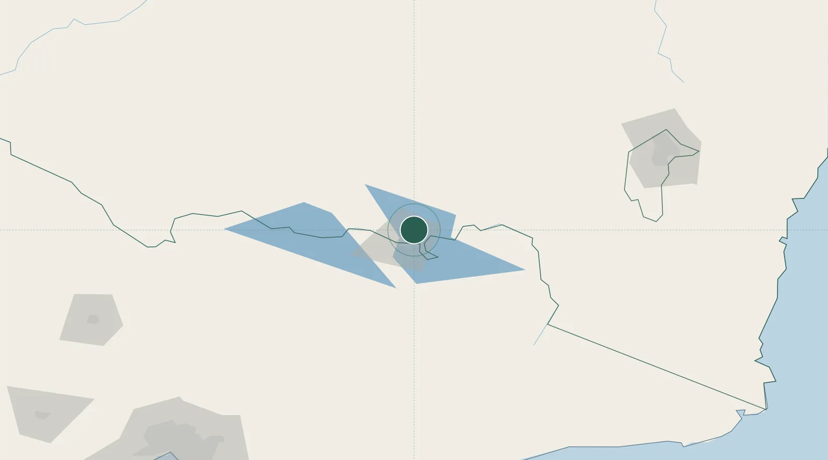
Location
Nearby Logistics Neighbours
Cities
- 1Barnawartha32 km
- 2Culcairn36 km
- 3Koonoomoo48 km
- 4Beechworth49 km
- 5Henty51 km
Ports
- 1Melbourne273 km
- 2Eden287 km
- 3Batemans Bay288 km
- 4Welshpool305 km
- 5Western Port305 km
Airports
- 1Albury Airport9 km
- 2Corowa Airport57 km
- 3Wangaratta Airport78 km
- 4Corryong Airport83 km
- 5Wagga Wagga Airport101 km
Trade Zones
DatabookThe Record of Consolidated Knowledge
Australia beyond logistics?