Transport Functions
Rail
Road
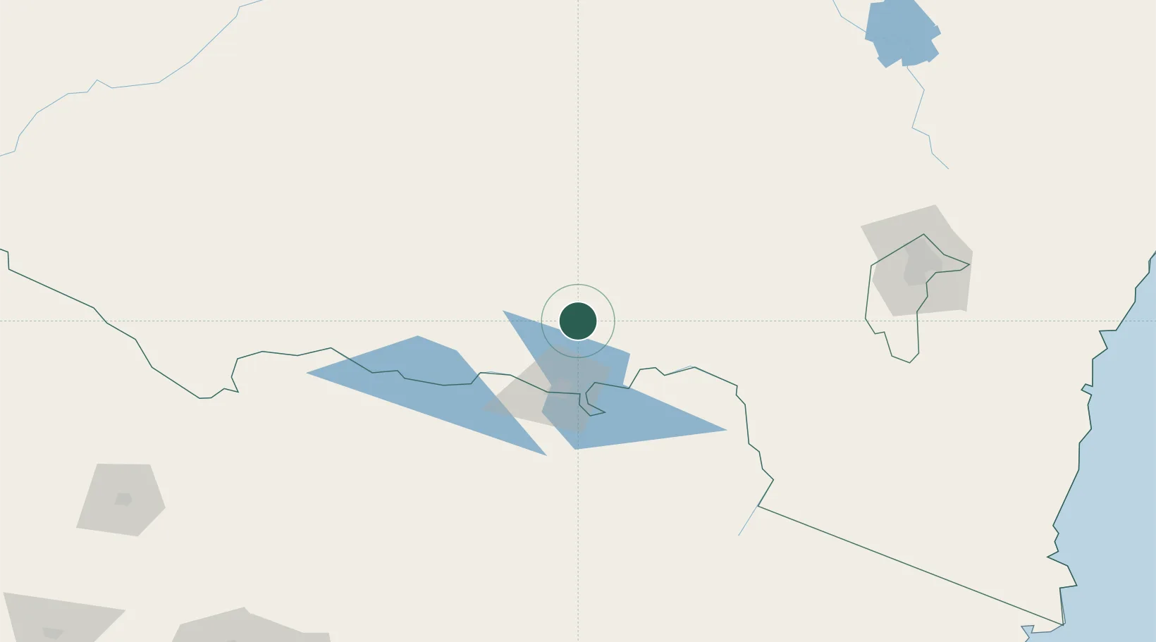
Hub Profile
Place type
Populated place
Region
New South Wales
Population
1,420
Time zone
Australia/Sydney
Elevation
217 m
Location
Nearby Logistics Neighbours
Cities
- 1Henty15 km
- 2Albury36 km
- 3The Rock45 km
- 4Lockhart58 km
- 5Barnawartha58 km
Ports
- 1Batemans Bay283 km
- 2Eden301 km
- 3Melbourne303 km
- 4Western Port339 km
- 5Welshpool341 km
Airports
- 1Albury Airport45 km
- 2Wagga Wagga Airport68 km
- 3Corowa Airport71 km
- 4Corryong Airport96 km
- 5Wangaratta Airport106 km
Trade Zones
DatabookThe Record of Consolidated Knowledge
Australia beyond logistics?