Medium airport · Australia

Corryong AirportYCRG
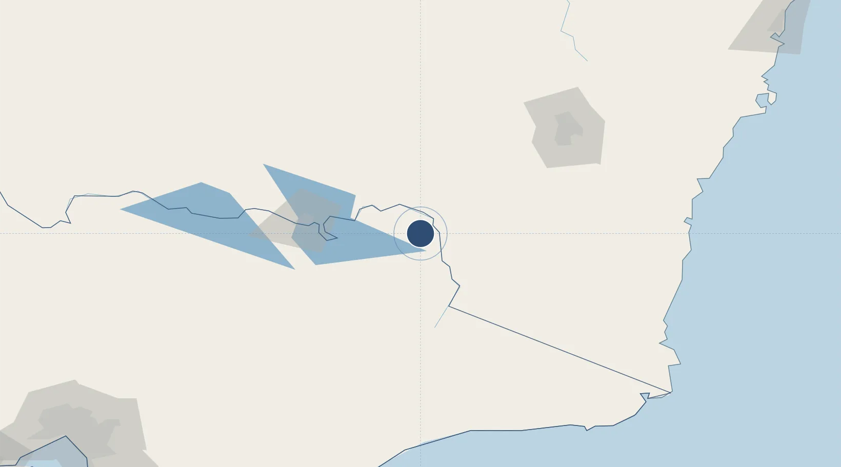
-36.1828°, 147.8880°
4,596 ft
Longest runway
1
Runways
963 ft
Elevation

Runway & Layout

Corryong Airport runway & taxiway layout
Runway & taxiway layout — OpenStreetMap (ODbL) / OurAirports

Radio Frequencies

CTAF
126.7 MHz
FSS
125.2 MHz
MELBOURNE CNTR
OurAirports

Navaids

CRG NDB Corryong 386 kHz
OurAirports

Runways · 1

RunwayDimensions SurfaceTrue headingLit
06/24 4,596 × 98ft Asphalt 072°
OurAirports

Airport Specifications

IATA code
CYG
OurAirports
ICAO code
YCRG
OurAirports
Airport class
Medium airport
OurAirports
Scheduled service
No
OurAirports
Runway surface
Asphalt
OurAirports

Location

Location of YCRG
Natural Earth 10m (public domain) · Victoria · YCRG · -36.18, 147.89GoogleOSMYandex

Nearby Logistics Neighbours

Airports
  1. 1Albury Airport84 km
  2. 2Cooma Snowy Mountains Airport98 km
  3. 3Tumut Aerodrome107 km
  4. 4Mount Hotham Airport108 km
  5. 5Wagga Wagga Airport120 km
Nearest neighbours — logibook spatial index (haversine) over the source coordinates
Cities
  1. 1Koonoomoo38 km
  2. 2Tumbarumba46 km
  3. 3Albury83 km
  4. 4Culcairn96 km
  5. 5Henty106 km
Nearest neighbours — logibook spatial index (haversine) over the source coordinates
Ports
  1. 1Eden206 km
  2. 2Batemans Bay212 km
  3. 3Jervis Bay289 km
  4. 4Welshpool307 km
  5. 5Melbourne318 km
Nearest neighbours — logibook spatial index (haversine) over the source coordinates
Trade Zones
  1. 1Latrobe Valley Economic Growth Zone264 km
  2. 2Hicks Bay Area Special Economic Zone2683 km
  3. 3Paga Hill Estate Special Economic Zone2970 km
  4. 4Vanuatu Economic Development Zone2989 km
  5. 5Ihu Special Economic Zone3156 km
Nearest neighbours — logibook spatial index (haversine) over the source coordinates
DatabookThe Record of Consolidated Knowledge
Australia beyond logistics?
Browse databook

All Sources

AirportsOurAirports
Public domain
Portsthe NGA World Port Index
Public domain (US gov)
LocationsUN/LOCODE
UN/LOCODE — free
Trade Zonesthe World Bank SEZ database
CC BY 4.0
Trade ZonesOpen Zone Map
CC BY
InfrastructureOpenStreetMap
ODbL 1.0
← Australia airports