Transport Functions
Port
Multimodal
Hub Profile
Place type
Populated place
Region
New South Wales
Population
564
Time zone
Australia/Sydney
Elevation
82 m
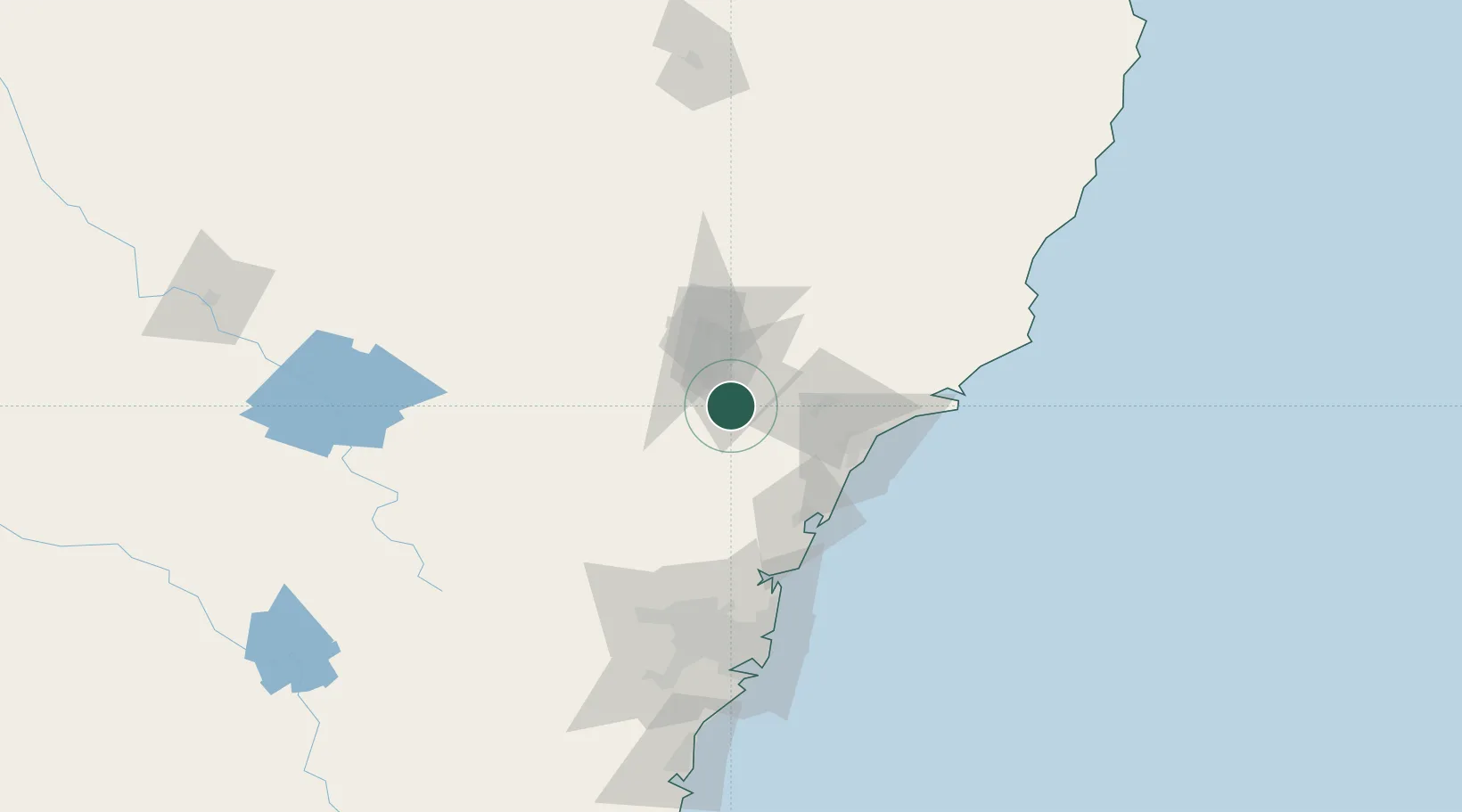
Location
Nearby Logistics Neighbours
Cities
- 1Milbrodale0 km
- 2Beresfield52 km
- 3Toronto54 km
- 4Warners Bay57 km
- 5Sandgate58 km
Ports
- 1Newcastle67 km
- 2Sydney125 km
- 3Botany Bay140 km
- 4Port Kembla194 km
- 5Jervis Bay265 km
Airports
- 1Newcastle Airport69 km
- 2Palm Beach Seaplane Base95 km
- 3RAAF Base Richmond100 km
- 4Sydney Bankstown Airport131 km
- 5Sydney Kingsford Smith International Airport133 km
Trade Zones
DatabookThe Record of Consolidated Knowledge
Australia beyond logistics?