UN/LOCODE hub · Heard & McDonald Islands
HMMCD
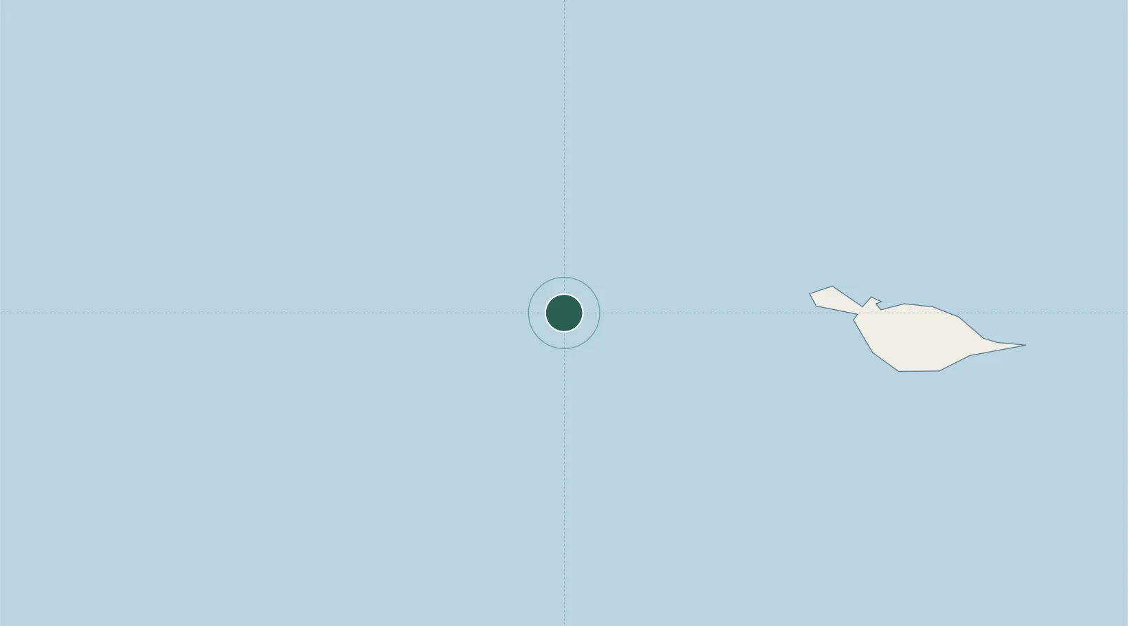
McDonald Island
-53.0333°, 72.5833°
1
Transport functions
Transport Functions
Port
Location
Nearby Logistics Neighbours
Cities
- 1Heard Island76 km
- 2Port-aux-Français443 km
- 3Mawson Station1701 km
- 4Davis Station1750 km
- 5Zhongshan1827 km
Ports
- 1Tolanaro3775 km
- 2Port Mathurin3791 km
- 3Saint-Pierre3813 km
- 4Saint-Denis3865 km
- 5Port Louis3879 km
Airports
- 1Vostok Skiway3123 km
- 2Tôlanaro Airport3777 km
- 3Sir Charles Gaetan Duval Airport3784 km
- 4Saint-Pierre Pierrefonds Airport3818 km
- 5Sir Seewoosagur Ramgoolam International Airport3844 km
Trade Zones
- 1Ehoala Park3774 km
- 2Mon Tresor Free Zone3843 km
- 3Free Zone Mauritius3875 km
- 4The Mauritius Free Port3880 km
- 5Riche Terre Industrial Zone3880 km
DatabookThe Record of Consolidated Knowledge
Heard & McDonald Islands beyond logistics?