UN/LOCODE hub · French Southern Territories
TFPFR
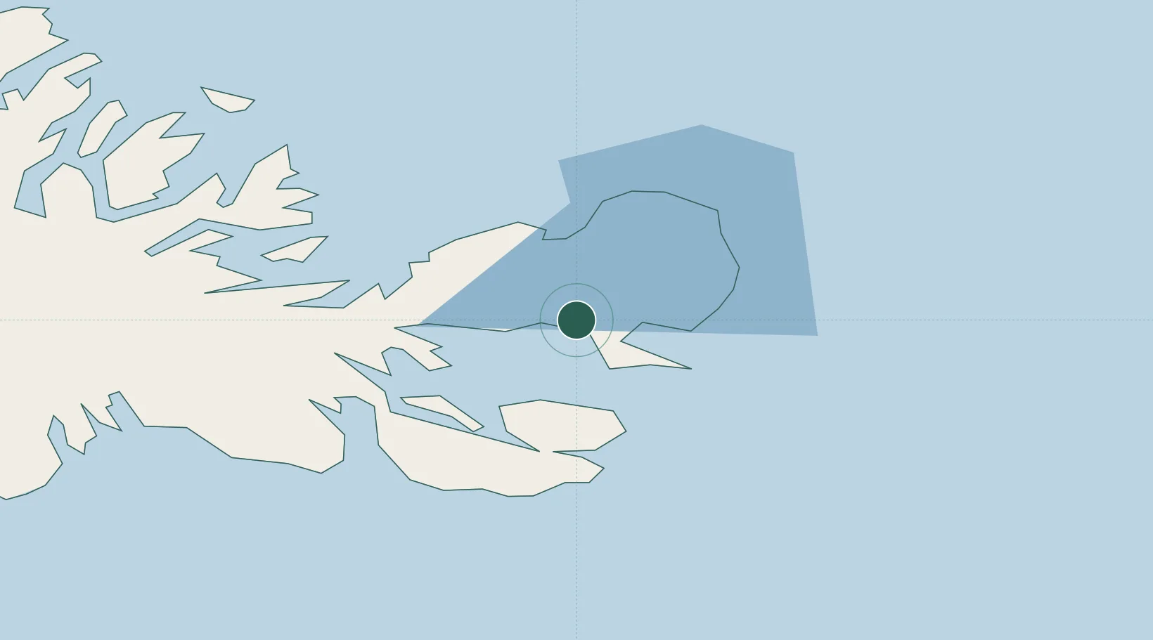
Port-aux-Français
-49.3333°, 70.2167°
45
Population
1
Transport functions
Transport Functions
Port
Hub Profile
Place type
National capital
Region
Kerguelen
Population
45
Time zone
Indian/Kerguelen
Elevation
11 m
Location
Nearby Logistics Neighbours
Cities
- 1McDonald Island443 km
- 2Heard Island483 km
- 3Mawson Station2072 km
- 4Davis Station2180 km
- 5Zhongshan2252 km
Ports
- 1Port Mathurin3352 km
- 2Tolanaro3367 km
- 3Saint-Pierre3373 km
- 4Saint-Denis3425 km
- 5Port Louis3436 km
Airports
- 1Sir Charles Gaetan Duval Airport3345 km
- 2Tôlanaro Airport3369 km
- 3Saint-Pierre Pierrefonds Airport3378 km
- 4Sir Seewoosagur Ramgoolam International Airport3401 km
- 5Roland Garros Airport3420 km
Trade Zones
- 1Ehoala Park3366 km
- 2Mon Tresor Free Zone3400 km
- 3Free Zone Mauritius3433 km
- 4The Mauritius Free Port3437 km
- 5Riche Terre Industrial Zone3437 km
DatabookThe Record of Consolidated Knowledge
French Southern Territories beyond logistics?