UN/LOCODE hub · Heard & McDonald Islands
HMHEA
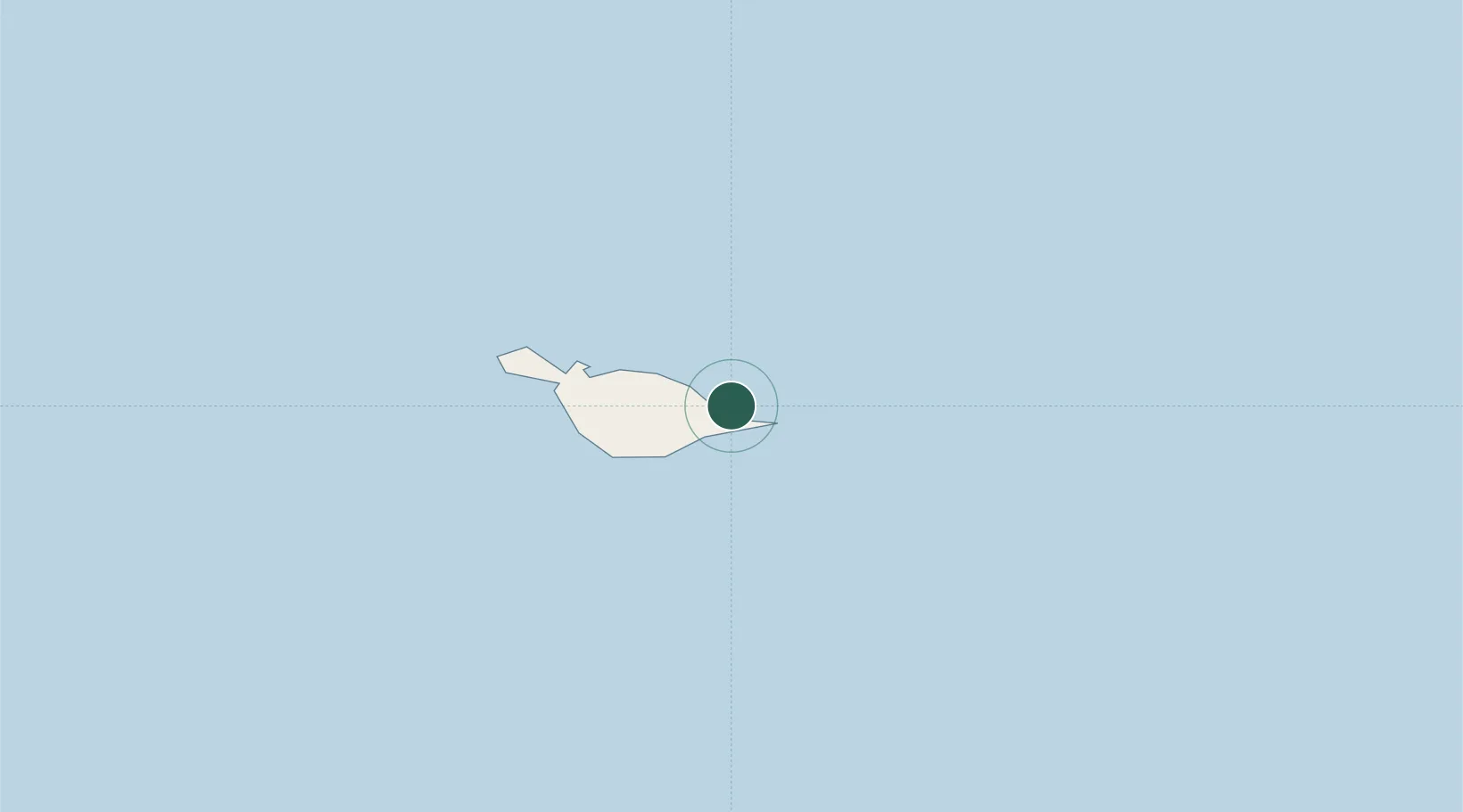
Heard Island
-53.0833°, 73.7167°
1
Transport functions
Transport Functions
Port
Location
Nearby Logistics Neighbours
Cities
- 1McDonald Island76 km
- 2Port-aux-Français483 km
- 3Mawson Station1715 km
- 4Davis Station1736 km
- 5Zhongshan1816 km
Ports
- 1Port Mathurin3818 km
- 2Tolanaro3833 km
- 3Saint-Pierre3856 km
- 4Saint-Denis3907 km
- 5Port Louis3917 km
Airports
- 1Vostok Skiway3100 km
- 2Sir Charles Gaetan Duval Airport3811 km
- 3Tôlanaro Airport3834 km
- 4Saint-Pierre Pierrefonds Airport3861 km
- 5Sir Seewoosagur Ramgoolam International Airport3882 km
Trade Zones
- 1Ehoala Park3831 km
- 2Mon Tresor Free Zone3881 km
- 3Free Zone Mauritius3914 km
- 4The Mauritius Free Port3918 km
- 5Riche Terre Industrial Zone3919 km
DatabookThe Record of Consolidated Knowledge
Heard & McDonald Islands beyond logistics?