Medium airport · Australia

Maningrida AirportYMGD
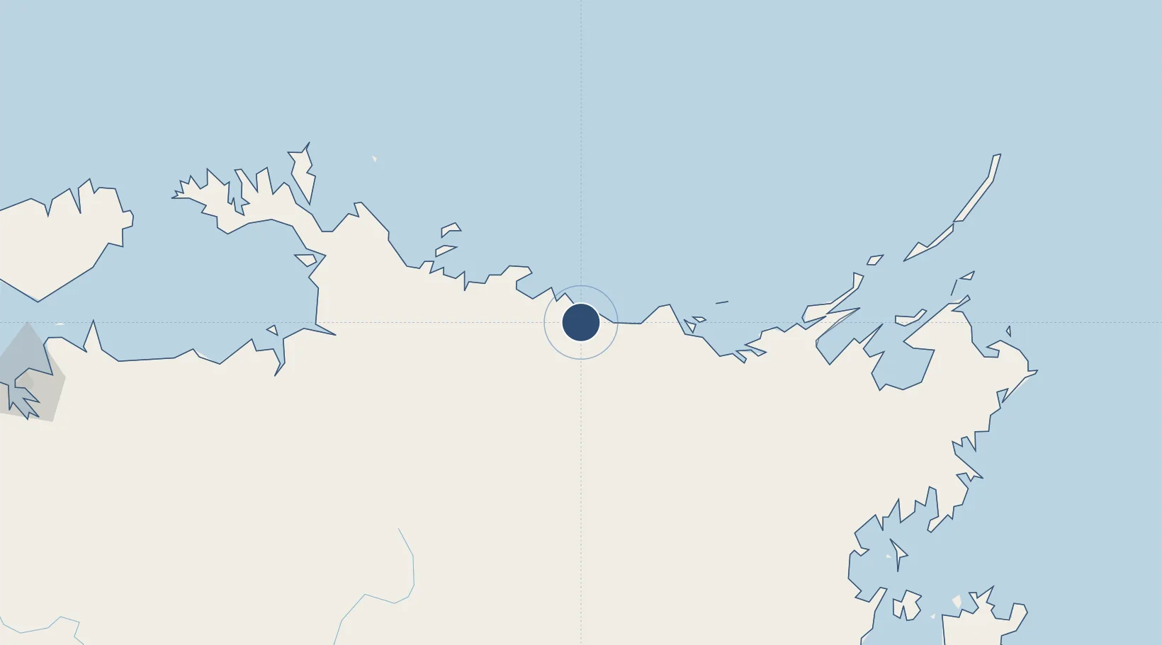
-12.0561°, 134.2340°
5,020 ft
Longest runway
1
Runways
123 ft
Elevation

Runway & Layout

Maningrida Airport runway & taxiway layout
Runway & taxiway layout — OpenStreetMap (ODbL) / OurAirports

Radio Frequencies

CTAF
127.5 MHz
FSS
123.4 MHz
BRISBANE CNTR
OurAirports

Navaids

MGD NDB Maningrida 401 kHz
OurAirports

Runways · 1

RunwayDimensions SurfaceTrue headingLit
14/32 5,020 × 98ft Asphalt 149°
OurAirports

Airport Specifications

IATA code
MNG
OurAirports
ICAO code
YMGD
OurAirports
Airport class
Medium airport
OurAirports
Scheduled service
Yes
OurAirports
Runway surface
Asphalt
OurAirports
Served city
Maningrida
OurAirports

Location

Location of YMGD
Natural Earth 10m (public domain) · Northern Territory · YMGD · -12.06, 134.23GoogleOSMYandex

Nearby Logistics Neighbours

Airports
  1. 1Milingimbi Airport72 km
  2. 2Ramingining Airport80 km
  3. 3Elcho Island Airport146 km
  4. 4Lake Evella Airport178 km
  5. 5Gove Airport282 km
Nearest neighbours — logibook spatial index (haversine) over the source coordinates
Cities
  1. 1Dhipirrinjura95 km
  2. 2Langarra121 km
  3. 3Raffles Bay220 km
  4. 4Black Point248 km
  5. 5Elizabeth Bay253 km
Nearest neighbours — logibook spatial index (haversine) over the source coordinates
Ports
  1. 1Gove269 km
  2. 2Milner Bay311 km
  3. 3Darwin371 km
  4. 4Saumlaki555 km
  5. 5Wyndham763 km
Nearest neighbours — logibook spatial index (haversine) over the source coordinates
Trade Zones
  1. 1Western Province Special Economic Zone861 km
  2. 2Atauro Special Economic Zone1036 km
  3. 3Oecusse Ambeno Enclave Special Zone For Social Market Economy (Zeesm)1127 km
  4. 4Sandaun Special Economic Zone1161 km
  5. 5Sepik Special Economic Zone1204 km
Nearest neighbours — logibook spatial index (haversine) over the source coordinates
DatabookThe Record of Consolidated Knowledge
Australia beyond logistics?
Browse databook

All Sources

AirportsOurAirports
Public domain
Portsthe NGA World Port Index
Public domain (US gov)
LocationsUN/LOCODE
UN/LOCODE — free
Trade Zonesthe World Bank SEZ database
CC BY 4.0
Trade ZonesOpen Zone Map
CC BY
InfrastructureOpenStreetMap
ODbL 1.0
← Australia airports