UN/LOCODE hub · Australia
AUMEL
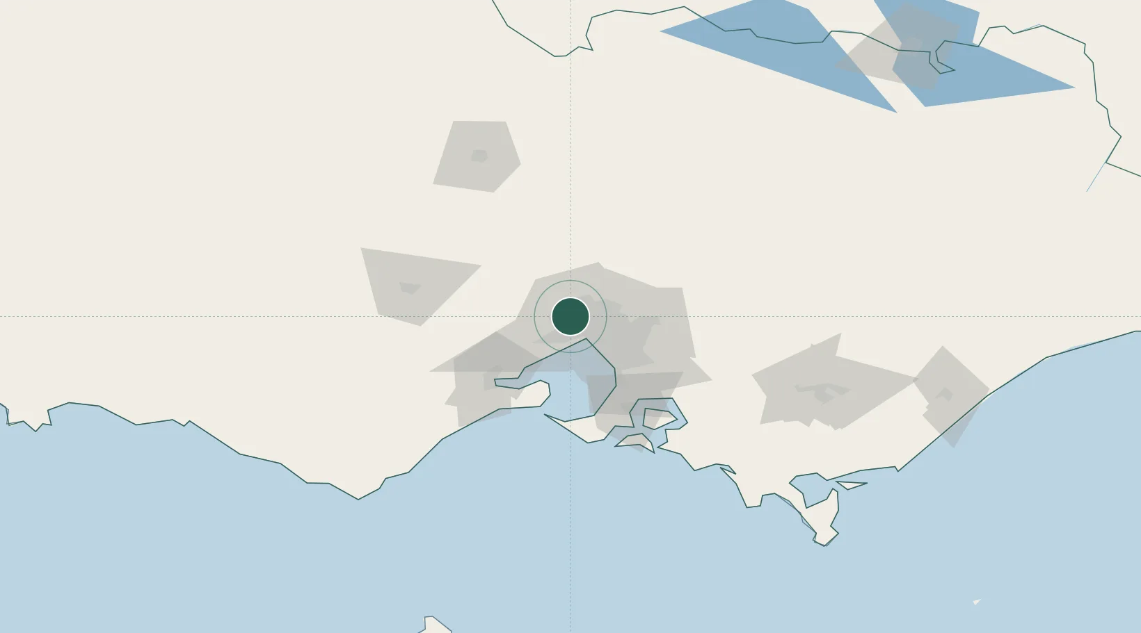
Melbourne
-37.7330°, 144.8388°
5,350,705
Population
5
Transport functions
5
Container terminals
Transport Functions
Port
Rail
Road
Airport
Postal
Hub Profile
Place type
Regional capital
Region
Victoria
Population
5,350,705
Time zone
Australia/Melbourne
Elevation
25 m
Logistics facilities
120
Container terminals
5
Location
Nearby Logistics Neighbours
Cities
- 1Keilor2 km
- 2Keilor Park2 km
- 3Maidstone6 km
- 4Maribyrnong7 km
- 5West Footscray8 km
Ports
- 1Geelong62 km
- 2Western Port77 km
- 3Welshpool178 km
- 4Warrnambool219 km
- 5Portland291 km
Airports
Trade Zones
DatabookThe Record of Consolidated Knowledge
Australia beyond logistics?