UN/LOCODE hub · Australia
AUBRU

Brunswich

-37.7667°, 144.9500°
2
Transport functions

Transport Functions

Rail
Road
UN/LOCODE

Hub Profile

Region
VIC
GeoNames

Location

Location of AUBRU
Natural Earth 10m (public domain) · VIC · AUBRU · -37.77, 144.95GoogleOSMYandex

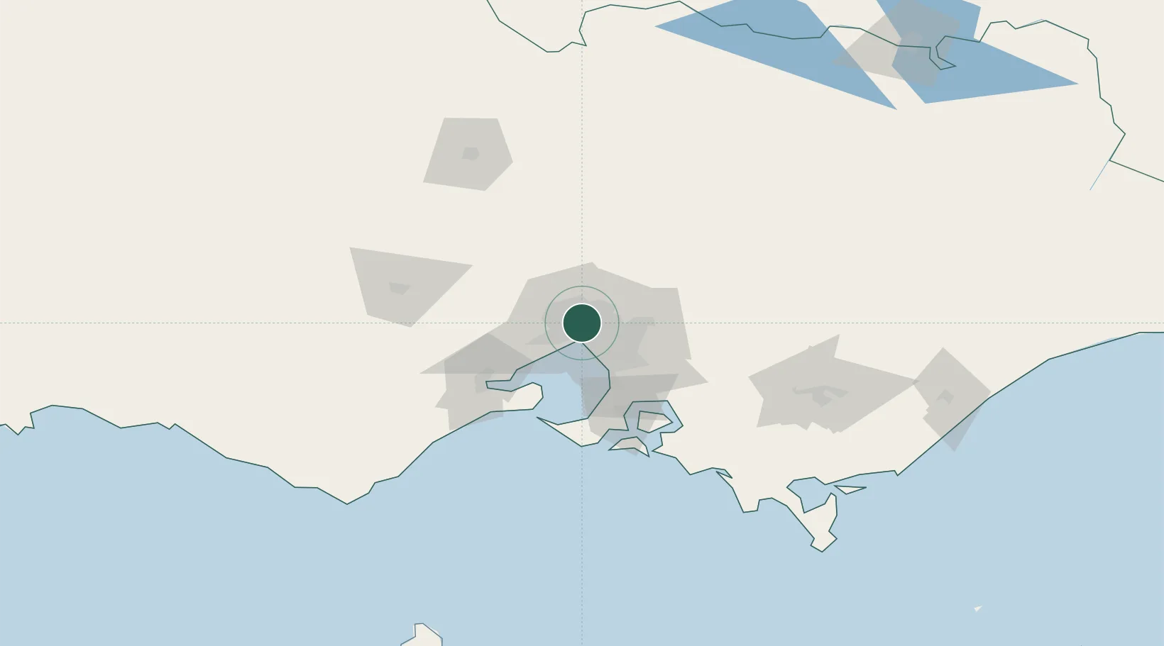
Nearby Logistics Neighbours

Cities
  1. 1Coburg2 km
  2. 2Carlton4 km
  3. 3Fitzroy4 km
  4. 4Collingwood5 km
  5. 5Port Melbourne5 km
Nearest neighbours — logibook spatial index (haversine) over the source coordinates
Ports
  1. 1Melbourne8 km
  2. 2Geelong67 km
  3. 3Western Port69 km
  4. 4Welshpool168 km
  5. 5Warrnambool227 km
Nearest neighbours — logibook spatial index (haversine) over the source coordinates
Airports
  1. 1Melbourne Essendon Airport6 km
  2. 2Melbourne Airport15 km
  3. 3Melbourne Moorabbin Airport27 km
  4. 4Melbourne Avalon International Airport52 km
  5. 5Bendigo Airport127 km
Nearest neighbours — logibook spatial index (haversine) over the source coordinates
Trade Zones
  1. 1Latrobe Valley Economic Growth Zone137 km
  2. 2Paga Hill Estate Special Economic Zone3153 km
  3. 3Vanuatu Economic Development Zone3299 km
  4. 4Ihu Special Economic Zone3322 km
  5. 5Morobe Agricultural Special Economic Zone3461 km
Nearest neighbours — logibook spatial index (haversine) over the source coordinates
DatabookThe Record of Consolidated Knowledge
Australia beyond logistics?
Browse databook

All Sources

LocationsUN/LOCODE
UN/LOCODE — free
Portsthe NGA World Port Index
Public domain (US gov)
AirportsOurAirports
Public domain
Trade Zonesthe World Bank SEZ database
CC BY 4.0
Trade ZonesOpen Zone Map
CC BY
← Australia locations