Small airport · Australia

Murray Island AirportYMAE
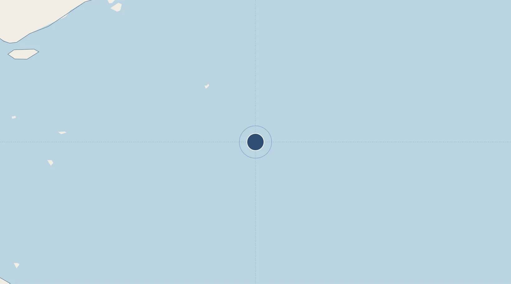
-9.9151°, 144.0546°
1,722 ft
Longest runway
1
Runways
300 ft
Elevation

Runway & Layout

Murray Island Airport runway & taxiway layout
Runway & taxiway layout — OpenStreetMap (ODbL) / OurAirports

Radio Frequencies

CTAF
122.1 MHz
MISC
112.2 MHz
MISC
122.3 MHz
MISC
133.05 MHz
OurAirports

Runways · 1

RunwayDimensions SurfaceTrue headingLit
14/32 1,722 × —ft G
OurAirports

Airport Specifications

IATA code
MYI
OurAirports
ICAO code
YMAE
OurAirports
Airport class
Small airport
OurAirports
Scheduled service
Yes
OurAirports
Runway surface
G
OurAirports
Served city
Murray Island
OurAirports

Location

Location of YMAE
Natural Earth 10m (public domain) · Queensland · YMAE · -9.92, 144.05GoogleOSMYandex

Nearby Logistics Neighbours

Airports
  1. 1Darnley Island Airport48 km
  2. 2Yorke Island Airport73 km
  3. 3Coconut Island Airport109 km
  4. 4Daru Airport131 km
  5. 5Warraber Island Airport139 km
Nearest neighbours — logibook spatial index (haversine) over the source coordinates
Cities
  1. 1Dalrymple Islet90 km
  2. 2Saibai168 km
  3. 3Kumul210 km
  4. 4Boigu Island214 km
  5. 5Vailala267 km
Nearest neighbours — logibook spatial index (haversine) over the source coordinates
Ports
  1. 1Daru133 km
  2. 2Kumul210 km
  3. 3Thursday Island214 km
  4. 4Port Moresby341 km
  5. 5Weipa388 km
Nearest neighbours — logibook spatial index (haversine) over the source coordinates
Trade Zones
  1. 1Ihu Special Economic Zone268 km
  2. 2Paga Hill Estate Special Economic Zone342 km
  3. 3Morobe Agricultural Special Economic Zone411 km
  4. 4Nadzab (Momase) Special Economic Zone477 km
  5. 5Western Province Special Economic Zone548 km
Nearest neighbours — logibook spatial index (haversine) over the source coordinates
DatabookThe Record of Consolidated Knowledge
Australia beyond logistics?
Browse databook

All Sources

AirportsOurAirports
Public domain
Portsthe NGA World Port Index
Public domain (US gov)
LocationsUN/LOCODE
UN/LOCODE — free
Trade Zonesthe World Bank SEZ database
CC BY 4.0
Trade ZonesOpen Zone Map
CC BY
InfrastructureOpenStreetMap
ODbL 1.0
← Australia airports