Medium airport · Australia

King Island AirportYKII
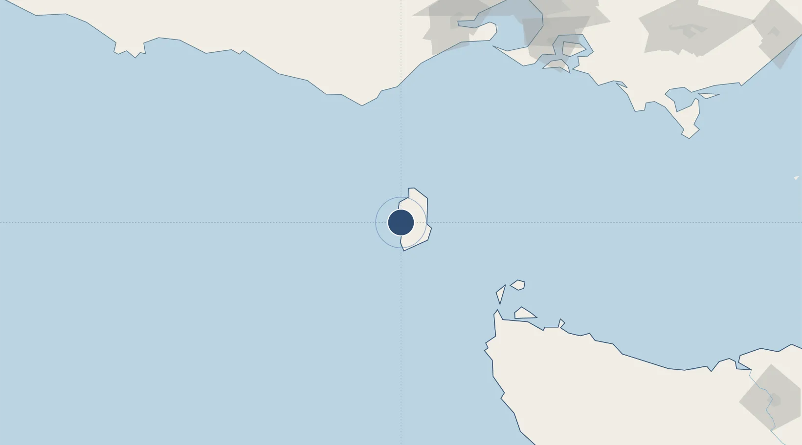
-39.8775°, 143.8780°
5,198 ft
Longest runway
3
Runways
132 ft
Elevation

Runway & Layout

King Island Airport runway & taxiway layout
Runway & taxiway layout — OpenStreetMap (ODbL) / OurAirports

Radio Frequencies

CTAF
126.85 MHz
FSS
123.9 MHz
MELBOURNE CNTR
OurAirports

Navaids

KII NDB King Island 332 kHz
OurAirports

Runways · 3

RunwayDimensions SurfaceTrue headingLit
10/28 5,198 × 98ft Asphalt 115°
17/35 3,632 × 98ft COM 185°
06/24 2,626 × 98ft Gravel 074°
OurAirports

Airport Specifications

IATA code
KNS
OurAirports
ICAO code
YKII
OurAirports
Airport class
Medium airport
OurAirports
Scheduled service
Yes
OurAirports
Runway surface
Asphalt
OurAirports

Location

Location of YKII
Natural Earth 10m (public domain) · Tasmania · YKII · -39.88, 143.88GoogleOSMYandex

Nearby Logistics Neighbours

Airports
  1. 1Smithton Airport148 km
  2. 2Wynyard Airport200 km
  3. 3Melbourne Avalon International Airport211 km
  4. 4Melbourne Moorabbin Airport236 km
  5. 5Melbourne Essendon Airport255 km
Nearest neighbours — logibook spatial index (haversine) over the source coordinates
Cities
  1. 1Grassy24 km
  2. 2Maryknoll183 km
  3. 3Alvie186 km
  4. 4Shoreham191 km
  5. 5Phillip Island194 km
Nearest neighbours — logibook spatial index (haversine) over the source coordinates
Ports
  1. 1Stanley155 km
  2. 2Port Latta166 km
  3. 3Geelong197 km
  4. 4Warrnambool204 km
  5. 5Western Port206 km
Nearest neighbours — logibook spatial index (haversine) over the source coordinates
Trade Zones
  1. 1Latrobe Valley Economic Growth Zone284 km
  2. 2Paga Hill Estate Special Economic Zone3395 km
  3. 3Vanuatu Economic Development Zone3527 km
  4. 4Ihu Special Economic Zone3559 km
  5. 5Western Province Special Economic Zone3685 km
Nearest neighbours — logibook spatial index (haversine) over the source coordinates
DatabookThe Record of Consolidated Knowledge
Australia beyond logistics?
Browse databook

All Sources

AirportsOurAirports
Public domain
Portsthe NGA World Port Index
Public domain (US gov)
LocationsUN/LOCODE
UN/LOCODE — free
Trade Zonesthe World Bank SEZ database
CC BY 4.0
Trade ZonesOpen Zone Map
CC BY
InfrastructureOpenStreetMap
ODbL 1.0
← Australia airports