Medium airport · Australia

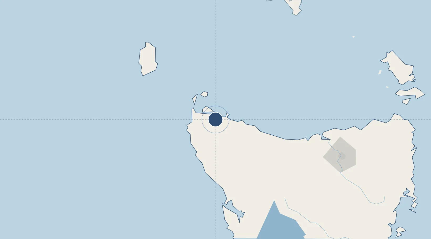
Smithton AirportYSMI

-40.8350°, 145.0840°
5,246 ft
Longest runway
2
Runways
31 ft
Elevation

Runway & Layout

Smithton Airport runway & taxiway layout
Runway & taxiway layout — OpenStreetMap (ODbL) / OurAirports

Radio Frequencies

CTAF
119.1 MHz
FSS
122.6 MHz
MELBOURNE CNTR
OurAirports

Navaids

SMI NDB Smithton 248 kHz
OurAirports

Runways · 2

RunwayDimensions SurfaceTrue headingLit
06/24 5,246 × 60ft Asphalt 069°
10/28 2,034 × 98ft Gravel 113°
OurAirports

Airport Specifications

IATA code
SIO
OurAirports
ICAO code
YSMI
OurAirports
Airport class
Medium airport
OurAirports
Scheduled service
No
OurAirports
Runway surface
Asphalt
OurAirports

Location

Location of YSMI
Natural Earth 10m (public domain) · Tasmania · YSMI · -40.83, 145.08GoogleOSMYandex

Nearby Logistics Neighbours

Airports
  1. 1Wynyard Airport57 km
  2. 2Devonport Airport119 km
  3. 3King Island Airport148 km
  4. 4Launceston Airport195 km
  5. 5Flinders Island Airport260 km
Nearest neighbours — logibook spatial index (haversine) over the source coordinates
Cities
  1. 1Cooee72 km
  2. 2Burnie72 km
  3. 3Spreyton114 km
  4. 4Devonport116 km
  5. 5Grassy124 km
Nearest neighbours — logibook spatial index (haversine) over the source coordinates
Ports
  1. 1Stanley18 km
  2. 2Port Latta25 km
  3. 3Burnie77 km
  4. 4Devonport114 km
  5. 5Beauty Point150 km
Nearest neighbours — logibook spatial index (haversine) over the source coordinates
Trade Zones
  1. 1Latrobe Valley Economic Growth Zone310 km
  2. 2Hicks Bay Area Special Economic Zone2853 km
  3. 3Paga Hill Estate Special Economic Zone3492 km
  4. 4Vanuatu Economic Development Zone3530 km
  5. 5Ihu Special Economic Zone3663 km
Nearest neighbours — logibook spatial index (haversine) over the source coordinates
DatabookThe Record of Consolidated Knowledge
Australia beyond logistics?
Browse databook

All Sources

AirportsOurAirports
Public domain
Portsthe NGA World Port Index
Public domain (US gov)
LocationsUN/LOCODE
UN/LOCODE — free
Trade Zonesthe World Bank SEZ database
CC BY 4.0
Trade ZonesOpen Zone Map
CC BY
InfrastructureOpenStreetMap
ODbL 1.0
← Australia airports