Medium airport · Australia
Wynyard AirportYWYY
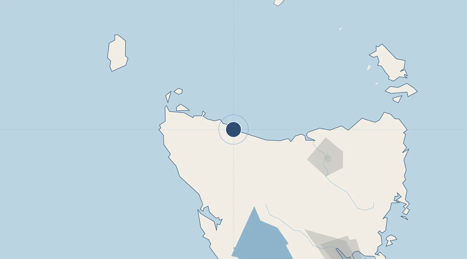
-40.9970°, 145.7260°
5,413 ft
Longest runway
2
Runways
62 ft
Elevation
Runway & Layout

Radio Frequencies
CTAF
126.9 MHz
AWIS
133.35 MHz
AWS Weather
FSS
122.6 MHz
MELBOURNE CNTR
Navaids
WYY VOR Wynyard 115.80 MHz
WYY NDB Wynyard 302 kHz
Runways · 2
| Runway | Dimensions | Surface | True heading | Lit |
|---|---|---|---|---|
| 09/27 | 5,413 × 98ft | Asphalt | 099° | ✓ |
| 05/23 | 2,516 × 98ft | paved | 065° | — |
Airport Specifications
IATA code
BWT
ICAO code
YWYY
Airport class
Medium airport
Scheduled service
Yes
Runway surface
Asphalt
Served city
Burnie
Location
Nearby Logistics Neighbours
Airports
- 1Smithton Airport57 km
- 2Devonport Airport62 km
- 3Launceston Airport138 km
- 4King Island Airport200 km
- 5Flinders Island Airport216 km
Ports
- 1Burnie20 km
- 2Port Latta34 km
- 3Stanley45 km
- 4Devonport58 km
- 5Beauty Point93 km
Trade Zones
DatabookThe Record of Consolidated Knowledge
Australia beyond logistics?