Transport Functions
Multimodal
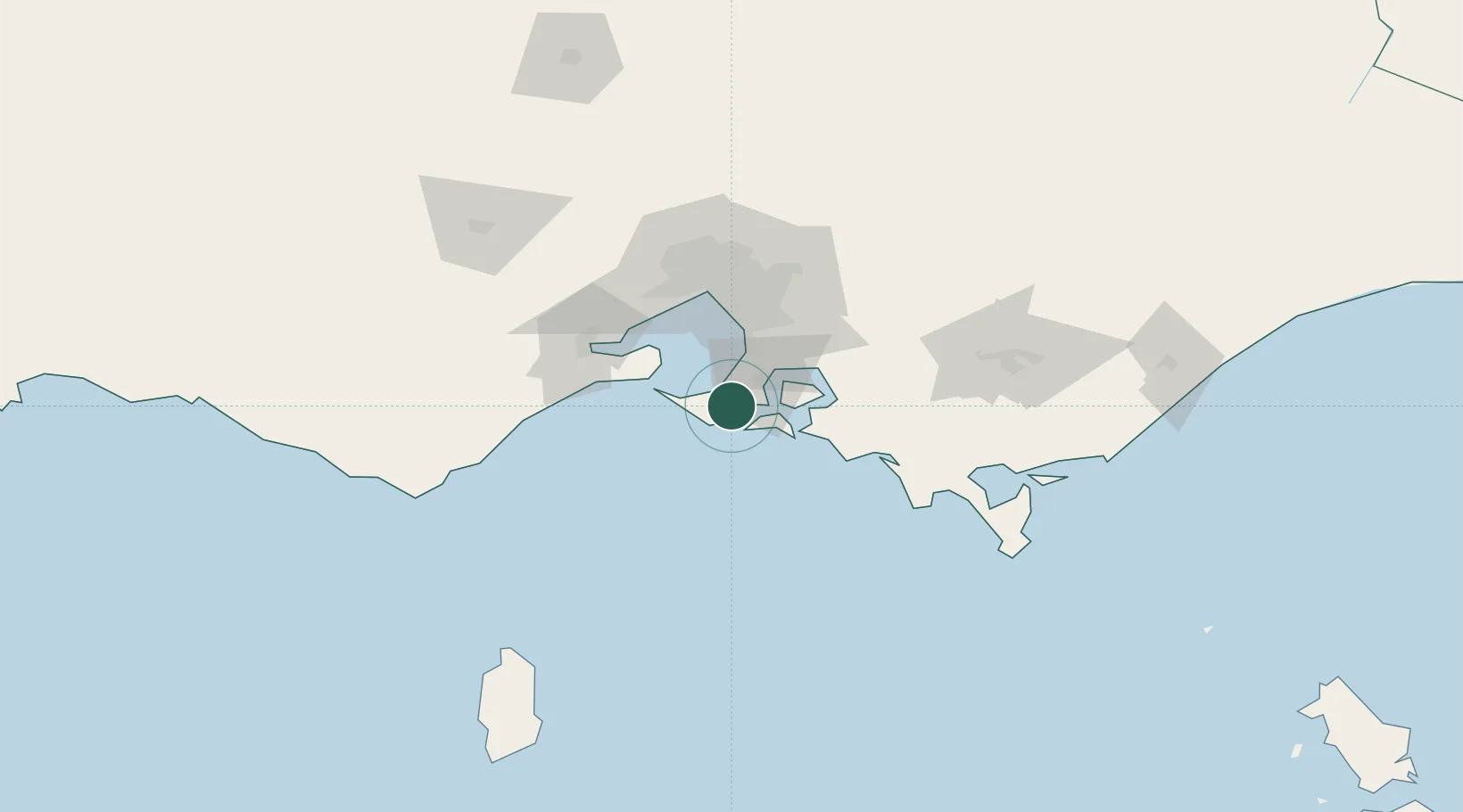
Hub Profile
Place type
Urban district
Region
Victoria
Population
573
Time zone
Australia/Melbourne
Elevation
60 m
Location
Nearby Logistics Neighbours
Cities
- 1Balnarring9 km
- 2Phillip Island18 km
- 3Hampton20 km
- 4Tankerton21 km
- 5Hastings22 km
Ports
- 1Western Port18 km
- 2Melbourne65 km
- 3Geelong67 km
- 4Welshpool127 km
- 5Warrnambool224 km
Airports
Trade Zones
DatabookThe Record of Consolidated Knowledge
Australia beyond logistics?