Transport Functions
Rail
Road
Hub Profile
Place type
Populated place
Region
Tasmania
Population
143
Time zone
Australia/Hobart
Elevation
123 m
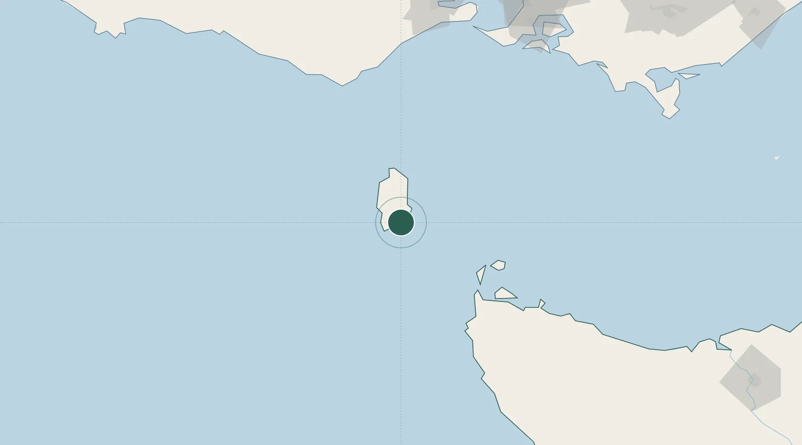
Location
Nearby Logistics Neighbours
Cities
- 1Maryknoll183 km
- 2Burnie192 km
- 3Cooee192 km
- 4Shoreham201 km
- 5Phillip Island202 km
Ports
- 1Stanley131 km
- 2Port Latta143 km
- 3Burnie195 km
- 4Geelong213 km
- 5Western Port215 km
Airports
- 1King Island Airport24 km
- 2Smithton Airport124 km
- 3Wynyard Airport177 km
- 4Melbourne Avalon International Airport226 km
- 5Devonport Airport236 km
Trade Zones
DatabookThe Record of Consolidated Knowledge
Australia beyond logistics?