Transport Functions
Multimodal
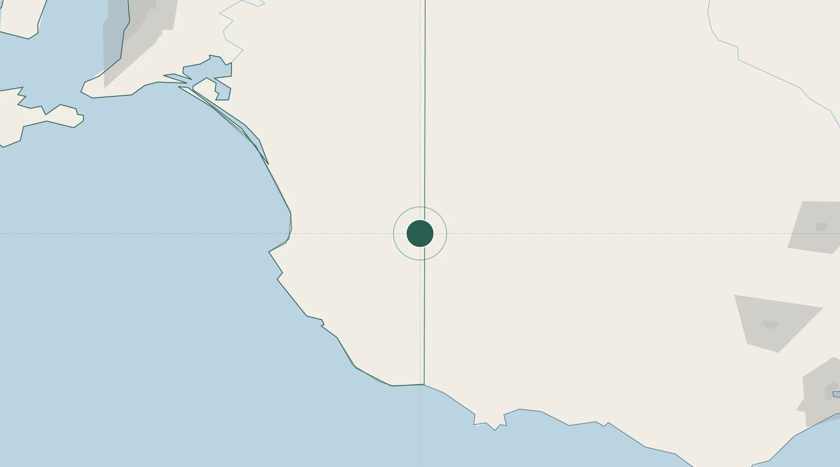
Hub Profile
Place type
Populated place
Region
South Australia
Population
60
Time zone
Australia/Adelaide
Elevation
104 m
Location
Nearby Logistics Neighbours
Cities
- 1Coonawarra57 km
- 2Monarto South86 km
- 3Keith94 km
- 4Robe113 km
- 5Croxton153 km
Ports
- 1Portland180 km
- 2Warrnambool224 km
- 3Port Adelaide308 km
- 4Kingscote323 km
- 5Geelong338 km
Airports
- 1Mount Gambier Airport106 km
- 2Horsham Airport111 km
- 3Hamilton Airport138 km
- 4Warracknabeal Airport143 km
- 5Stawell Airport164 km
Trade Zones
DatabookThe Record of Consolidated Knowledge
Australia beyond logistics?