Transport Functions
Multimodal
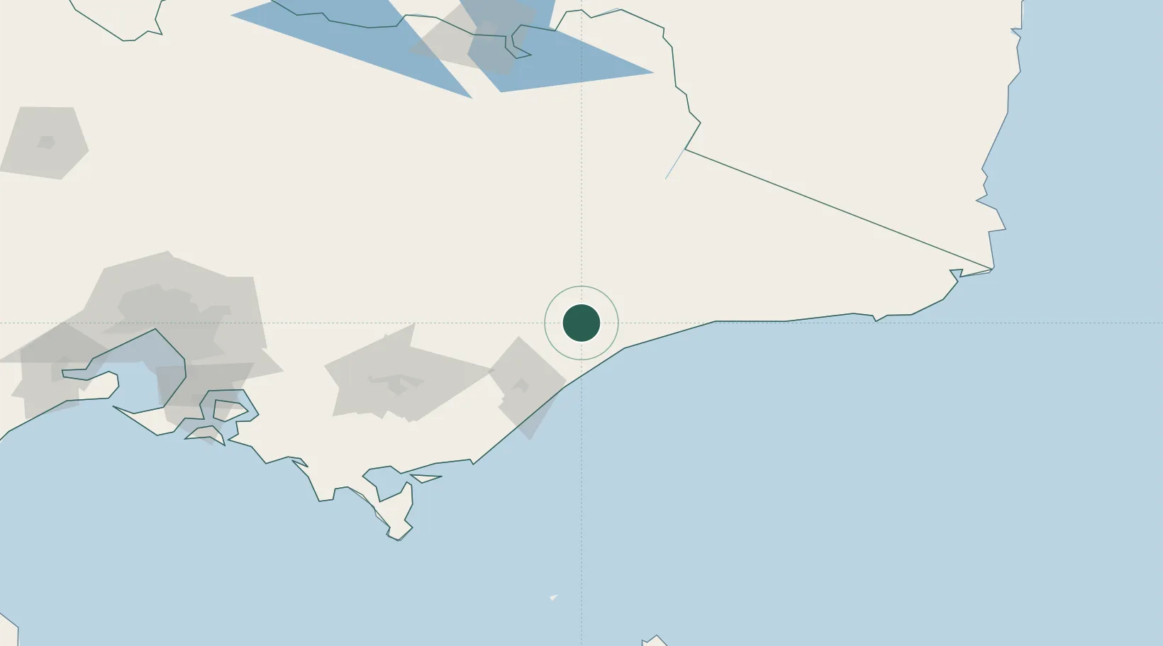
Hub Profile
Place type
Populated place
Region
Victoria
Population
199
Time zone
Australia/Melbourne
Elevation
44 m
Location
Nearby Logistics Neighbours
Cities
- 1Bushy Park41 km
- 2Lakes Entrance43 km
- 3Flynn81 km
- 4Moe114 km
- 5Welshpool131 km
Ports
- 1Welshpool132 km
- 2Western Port207 km
- 3Melbourne223 km
- 4Eden230 km
- 5Geelong277 km
Airports
- 1Bairnsdale Airport9 km
- 2RAAF Base East Sale43 km
- 3West Sale Airport55 km
- 4Mount Hotham Airport89 km
- 5Latrobe Valley Airport100 km
Trade Zones
DatabookThe Record of Consolidated Knowledge
Australia beyond logistics?