Transport Functions
Rail
Road
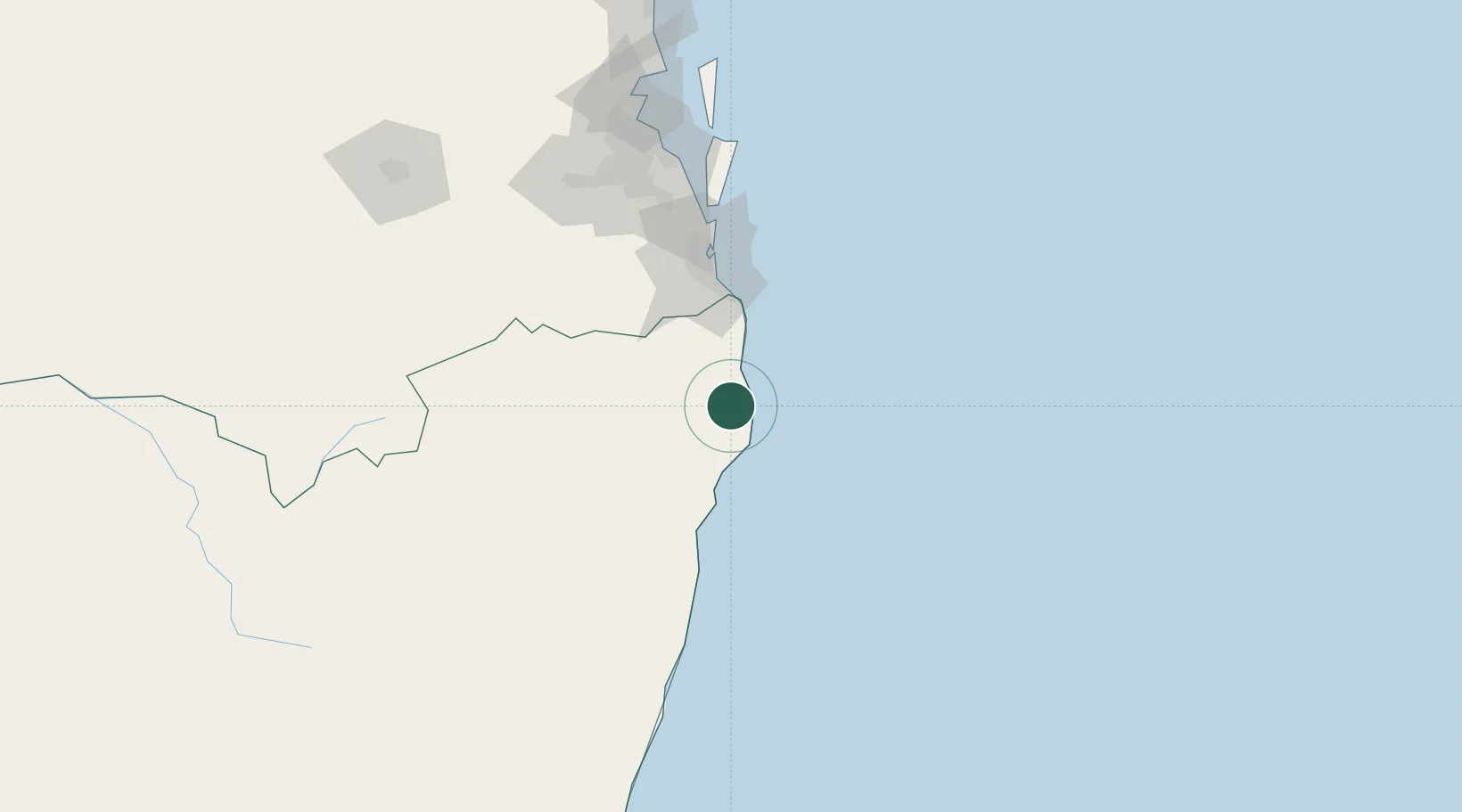
Hub Profile
Place type
Populated place
Region
New South Wales
Population
1,980
Time zone
Australia/Sydney
Elevation
60 m
Location
Nearby Logistics Neighbours
Cities
- 1Binna Burra3 km
- 2Byron Bay10 km
- 3Chinderah50 km
- 4Tweed Heads South54 km
- 5Reedy Creek66 km
Airports
- 1Ballina Byron Gateway Airport17 km
- 2Lismore Airport30 km
- 3Gold Coast Airport58 km
- 4Clarence Valley Regional Airport128 km
- 5RAAF Base Amberley141 km
Trade Zones
DatabookThe Record of Consolidated Knowledge
Australia beyond logistics?