Medium airport · Australia
Tumut AerodromeYTMU
-35.2683°, 148.2405°
3,478 ft
Longest runway
1
Runways
878 ft
Elevation
Runway & Layout

Radio Frequencies
CTAF
126.7 MHz
FSS
119.5 MHz
MELBOURNE CNTR
Runways · 1
| Runway | Dimensions | Surface | True heading | Lit |
|---|---|---|---|---|
| 17/35 | 3,478 × 60ft | Asphalt | 182° | — |
Airport Specifications
IATA code
TUM
ICAO code
YTMU
Airport class
Medium airport
Scheduled service
No
Runway surface
Asphalt
Served city
Tumut
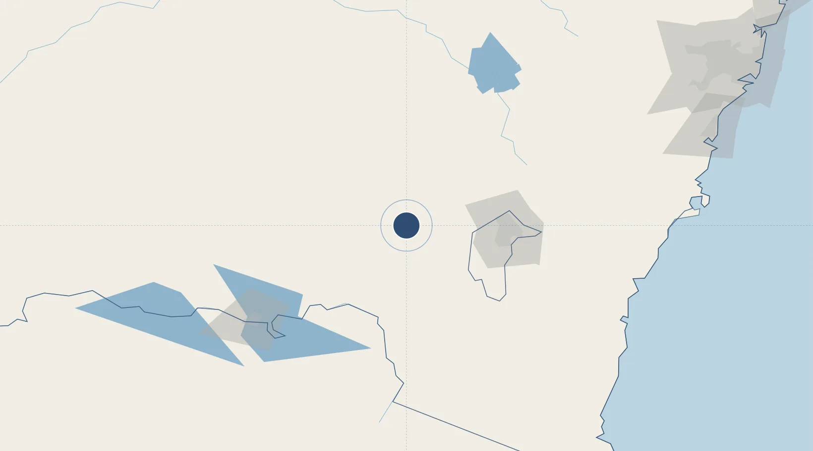
Location
Nearby Logistics Neighbours
Airports
- 1Wagga Wagga Airport71 km
- 2Cootamundra Airport74 km
- 3Canberra Airport87 km
- 4Gundaroo Airport95 km
- 5Corryong Airport107 km
Cities
- 1Gundagai26 km
- 2Muttama53 km
- 3Tumbarumba61 km
- 4Junee75 km
- 5Binalong76 km
Ports
- 1Batemans Bay181 km
- 2Jervis Bay233 km
- 3Eden250 km
- 4Port Kembla259 km
- 5Botany Bay308 km
Trade Zones
DatabookThe Record of Consolidated Knowledge
Australia beyond logistics?