Medium airport · Australia

Deniliquin AirportYDLQ
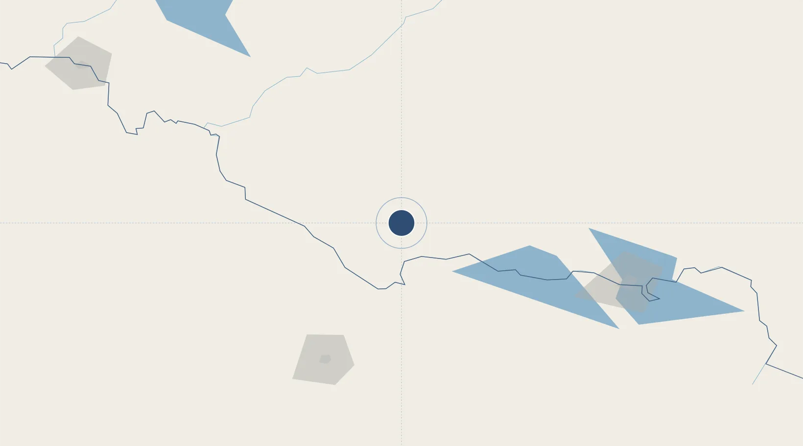
-35.5594°, 144.9460°
3,999 ft
Longest runway
2
Runways
316 ft
Elevation

Runway & Layout

Deniliquin Airport runway & taxiway layout
Runway & taxiway layout — OpenStreetMap (ODbL) / OurAirports

Radio Frequencies

CTAF
119 MHz
FSS
118.6 MHz
MELBOURNE CNTR
OurAirports

Navaids

DLQ NDB Deniliquin 392 kHz
OurAirports

Runways · 2

RunwayDimensions SurfaceTrue headingLit
06/24 3,999 × 98ft Asphalt 066°
12/30 1,969 × 98ft Graded earth 142°
OurAirports

Airport Specifications

IATA code
DNQ
OurAirports
ICAO code
YDLQ
OurAirports
Airport class
Medium airport
OurAirports
Scheduled service
No
OurAirports
Runway surface
Asphalt
OurAirports
Served city
Deniliquin
OurAirports

Location

Location of YDLQ
Natural Earth 10m (public domain) · New South Wales · YDLQ · -35.56, 144.95GoogleOSMYandex

Nearby Logistics Neighbours

Airports
  1. 1Echuca Airport69 km
  2. 2Kerang Airport94 km
  3. 3Shepparton Airport105 km
  4. 4Hay Airport115 km
  5. 5Swan Hill Airport130 km
Nearest neighbours — logibook spatial index (haversine) over the source coordinates
Cities
  1. 1Mathoura29 km
  2. 2Moama64 km
  3. 3Numurkah75 km
  4. 4Cobram75 km
  5. 5Jerilderie75 km
Nearest neighbours — logibook spatial index (haversine) over the source coordinates
Ports
  1. 1Melbourne253 km
  2. 2Geelong293 km
  3. 3Western Port311 km
  4. 4Welshpool374 km
  5. 5Warrnambool384 km
Nearest neighbours — logibook spatial index (haversine) over the source coordinates
Trade Zones
  1. 1Latrobe Valley Economic Growth Zone324 km
  2. 2Paga Hill Estate Special Economic Zone2908 km
  3. 3Ihu Special Economic Zone3076 km
  4. 4Vanuatu Economic Development Zone3138 km
  5. 5Morobe Agricultural Special Economic Zone3216 km
Nearest neighbours — logibook spatial index (haversine) over the source coordinates
DatabookThe Record of Consolidated Knowledge
Australia beyond logistics?
Browse databook

All Sources

AirportsOurAirports
Public domain
Portsthe NGA World Port Index
Public domain (US gov)
LocationsUN/LOCODE
UN/LOCODE — free
Trade Zonesthe World Bank SEZ database
CC BY 4.0
Trade ZonesOpen Zone Map
CC BY
InfrastructureOpenStreetMap
ODbL 1.0
← Australia airports