Medium airport · Australia

Kingaroy AirportYKRY
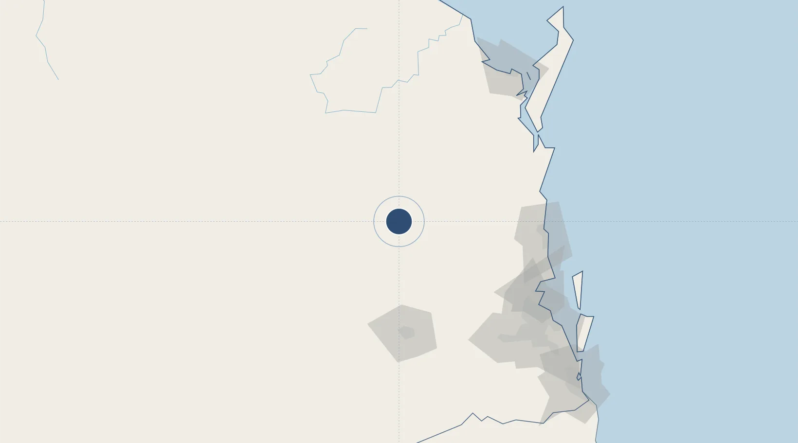
-26.5811°, 151.8399°
5,249 ft
Longest runway
2
Runways
1,492 ft
Elevation

Runway & Layout

Kingaroy Airport runway & taxiway layout
Runway & taxiway layout — OpenStreetMap (ODbL) / OurAirports

Radio Frequencies

CTAF
127.45 MHz
FSS
121.2 MHz
BRISBANE CNTR
OurAirports

Navaids

KRY NDB Kingaroy 209 kHz
OurAirports

Runways · 2

RunwayDimensions SurfaceTrue headingLit
16/34 5,249 × 98ft Asphalt 168°
05/23 4,275 × 98ft Grass 065°
OurAirports

Airport Specifications

IATA code
KGY
OurAirports
ICAO code
YKRY
OurAirports
Airport class
Medium airport
OurAirports
Scheduled service
No
OurAirports
Runway surface
Asphalt
OurAirports

Location

Location of YKRY
Natural Earth 10m (public domain) · Queensland · YKRY · -26.58, 151.84GoogleOSMYandex

Nearby Logistics Neighbours

Airports
  1. 1Oakey Army Aviation Centre93 km
  2. 2Toowoomba Wellcamp Airport109 km
  3. 3Chinchilla Airport123 km
  4. 4Sunshine Coast Airport124 km
  5. 5RAAF Base Amberley146 km
Nearest neighbours — logibook spatial index (haversine) over the source coordinates
Cities
  1. 1Toowoomba City110 km
  2. 2Yandina110 km
  3. 3Coominya111 km
  4. 4Helidon112 km
  5. 5Grantham117 km
Nearest neighbours — logibook spatial index (haversine) over the source coordinates
Ports
  1. 1Brisbane154 km
  2. 2Bundaberg197 km
  3. 3Ballina306 km
  4. 4Gladstone309 km
  5. 5Port Alma348 km
Nearest neighbours — logibook spatial index (haversine) over the source coordinates
Trade Zones
  1. 1Latrobe Valley Economic Growth Zone1393 km
  2. 2Paga Hill Estate Special Economic Zone1964 km
  3. 3Vanuatu Economic Development Zone2008 km
  4. 4Tulagi Island Special Economic Zone2131 km
  5. 5Ihu Special Economic Zone2187 km
Nearest neighbours — logibook spatial index (haversine) over the source coordinates
DatabookThe Record of Consolidated Knowledge
Australia beyond logistics?
Browse databook

All Sources

AirportsOurAirports
Public domain
Portsthe NGA World Port Index
Public domain (US gov)
LocationsUN/LOCODE
UN/LOCODE — free
Trade Zonesthe World Bank SEZ database
CC BY 4.0
Trade ZonesOpen Zone Map
CC BY
InfrastructureOpenStreetMap
ODbL 1.0
← Australia airports