Transport Functions
Rail
Road
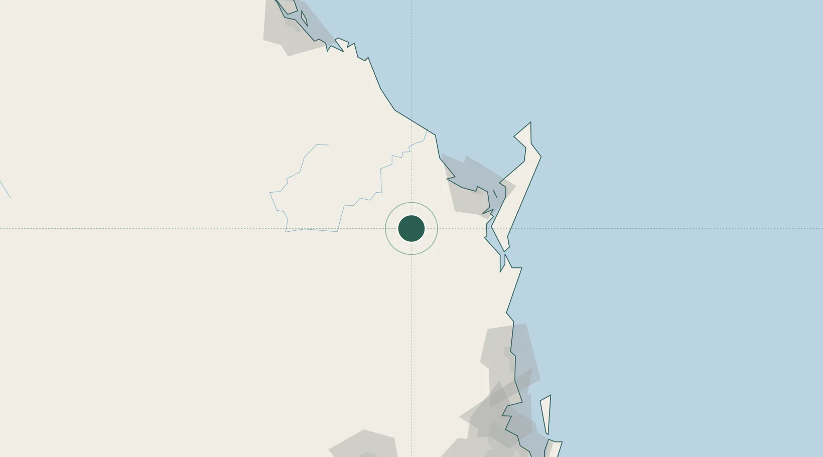
Hub Profile
Place type
Populated place
Region
Queensland
Population
105
Time zone
Australia/Brisbane
Elevation
105 m
Location
Nearby Logistics Neighbours
Cities
- 1Oakhurst38 km
- 2Isis Central46 km
- 3Yandina127 km
- 4Coolum134 km
- 5Kunda Park140 km
Airports
- 1Hervey Bay Airport69 km
- 2Bundaberg Airport78 km
- 3Kingaroy Airport117 km
- 4Sunshine Coast Airport137 km
- 5Oakey Army Aviation Centre208 km
Trade Zones
DatabookThe Record of Consolidated Knowledge
Australia beyond logistics?