Large airport · Australia

Sunshine Coast AirportYBSU
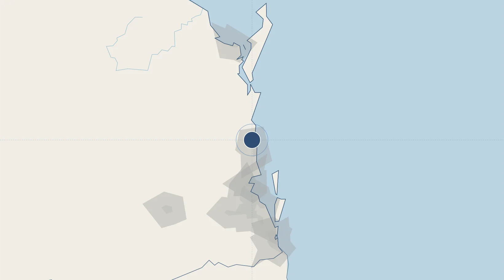
-26.5933°, 153.0832°
9,186 ft
Longest runway
1
Runways
15 ft
Elevation

Runway & Layout

Sunshine Coast Airport runway & taxiway layout
Runway & taxiway layout — OpenStreetMap (ODbL) / OurAirports

Radio Frequencies

ATIS
114.2 MHz
TWR
124.4 MHz
GND
121.1 MHz
CTAF
124.4 MHz
FSS
129 MHz
BRISBANE CNTR
OurAirports

Navaids

MC VOR-DME Maroochydore 114.20 MHz
MC NDB Maroochydore 380 kHz
OurAirports

Runways · 1

RunwayDimensions SurfaceTrue headingLit
13/31 9,186 × 148ft ASPH 142°
OurAirports

Airport Specifications

IATA code
MCY
OurAirports
ICAO code
YBSU
OurAirports
Airport class
Large airport
OurAirports
Scheduled service
Yes
OurAirports
Runway surface
ASPH
OurAirports
Served city
Maroochydore
OurAirports

Location

Location of YBSU
Natural Earth 10m (public domain) · Queensland · YBSU · -26.59, 153.08GoogleOSMYandex

Nearby Logistics Neighbours

Airports
  1. 1Brisbane International Airport88 km
  2. 2RAAF Base Amberley122 km
  3. 3Kingaroy Airport124 km
  4. 4Hervey Bay Airport143 km
  5. 5Oakey Army Aviation Centre161 km
Nearest neighbours — logibook spatial index (haversine) over the source coordinates
Cities
  1. 1Coolum5 km
  2. 2Kunda Park8 km
  3. 3Mooloolaba11 km
  4. 4Yandina14 km
  5. 5Bulwer60 km
Nearest neighbours — logibook spatial index (haversine) over the source coordinates
Ports
  1. 1Brisbane97 km
  2. 2Bundaberg206 km
  3. 3Ballina257 km
  4. 4Gladstone356 km
  5. 5Port Alma403 km
Nearest neighbours — logibook spatial index (haversine) over the source coordinates
Trade Zones
  1. 1Latrobe Valley Economic Growth Zone1438 km
  2. 2Vanuatu Economic Development Zone1909 km
  3. 3Paga Hill Estate Special Economic Zone2003 km
  4. 4Tulagi Island Special Economic Zone2082 km
  5. 5Ihu Special Economic Zone2232 km
Nearest neighbours — logibook spatial index (haversine) over the source coordinates
DatabookThe Record of Consolidated Knowledge
Australia beyond logistics?
Browse databook

All Sources

AirportsOurAirports
Public domain
Portsthe NGA World Port Index
Public domain (US gov)
LocationsUN/LOCODE
UN/LOCODE — free
Trade Zonesthe World Bank SEZ database
CC BY 4.0
Trade ZonesOpen Zone Map
CC BY
InfrastructureOpenStreetMap
ODbL 1.0
← Australia airports