Transport Functions
Rail
Road
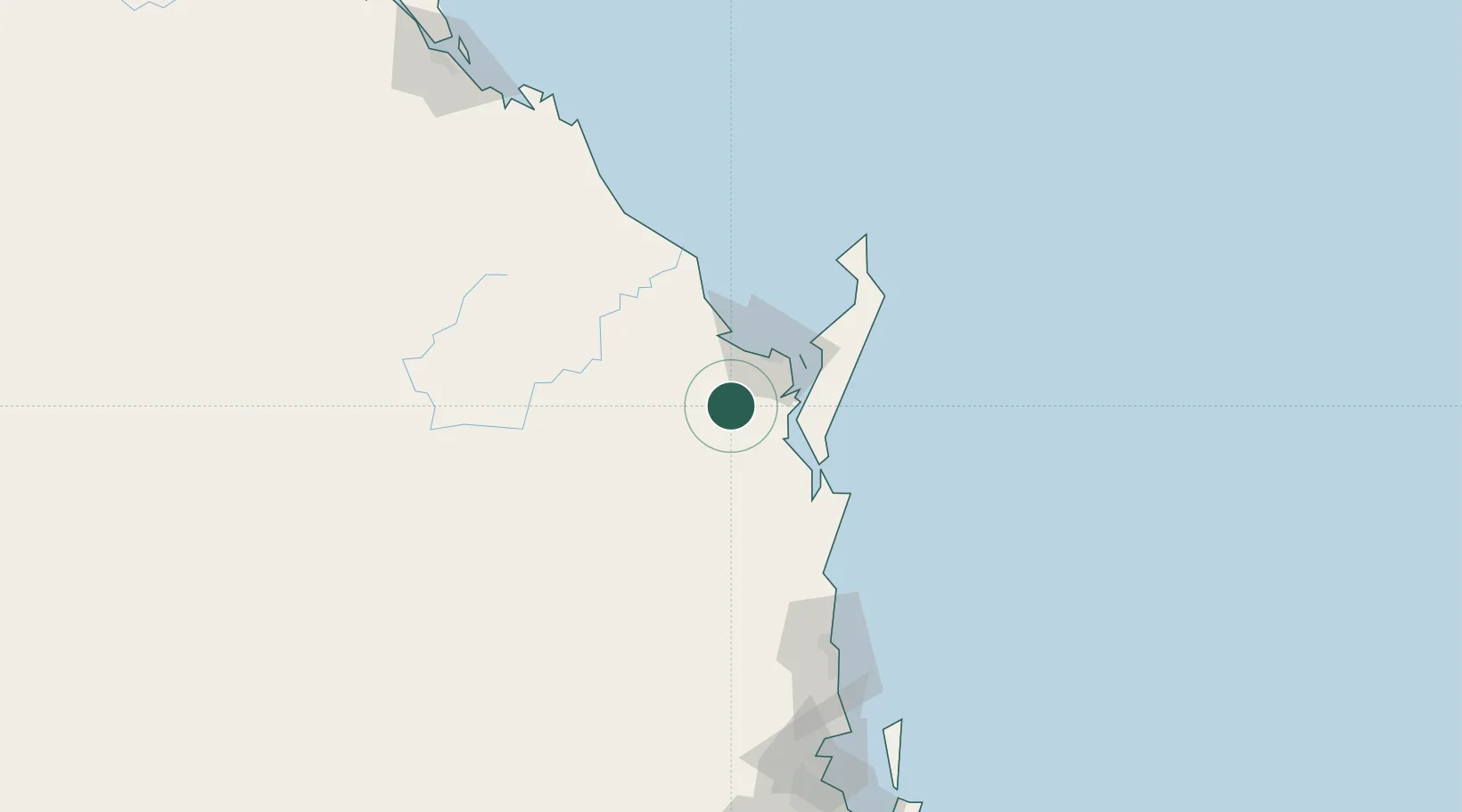
Hub Profile
Place type
Populated place
Region
Queensland
Population
1,397
Time zone
Australia/Brisbane
Elevation
24 m
Location
Nearby Logistics Neighbours
Cities
- 1Brooweena38 km
- 2Isis Central38 km
- 3Yandina121 km
- 4Coolum123 km
- 5Kunda Park132 km
Airports
- 1Hervey Bay Airport33 km
- 2Bundaberg Airport75 km
- 3Sunshine Coast Airport128 km
- 4Kingaroy Airport142 km
- 5Brisbane International Airport213 km
Trade Zones
DatabookThe Record of Consolidated Knowledge
Australia beyond logistics?